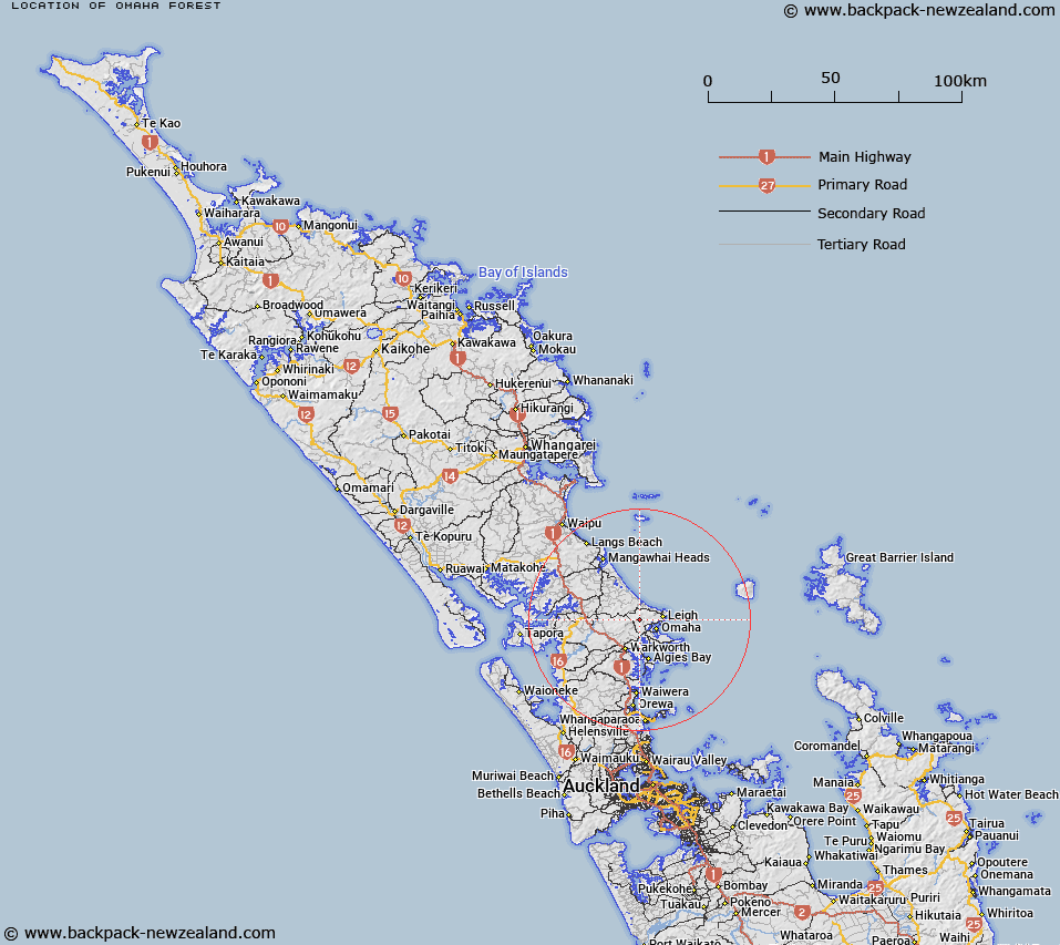
Map showing location of Ōmaha Forest
LINZ description: Feature shown on: NZTopo50-AZ31 539811, QY31 542823
Latitude: -36.302186
Longitude: 174.714421
Northing: 5981170.2
Easting: 1753932
Land District: North Auckland
Feat Type: Forest
Latitude: -36.302186
Longitude: 174.714421
Northing: 5981170.2
Easting: 1753932
Land District: North Auckland
Feat Type: Forest

Scroll down to see a more detailed road map and below that a topographical map showing the location of Ōmaha Forest. The road map has been supplied by openstreetmap and the topographical map of Ōmaha Forest has been supplied by Land Information New Zealand (LINZ).
Yes you can use the top static map for you school/university project or personal website with a link back. Contact me for any commercial use.
[ A ] [ B ] [ C ] [ D ] [ E ] [ F ] [ G ] [ H ] [ I ] [ J ] [ K ] [ L ] [ M ] [ N ] [ O ] [ P ] [ Q ] [ R ] [ S ] [ T ] [ U ] [ V ] [ W ] [ X ] [ Y ] [ Z ]