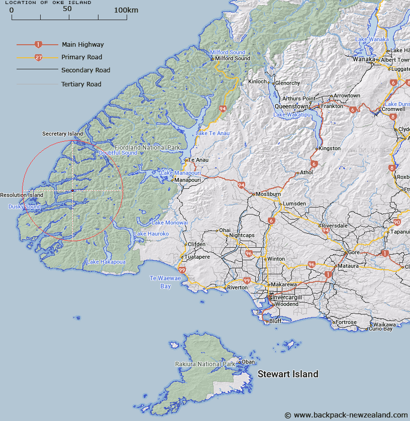
Map showing location of Oke Island


LINZ description: In Wet Jacket Arm between Dusky and Breaksea Sounds
Latitude: -45.637004
Longitude: 166.853938
Northing: 4927881
Easting: 1121014.3
Land District: Southland
Feat Type: Island


Scroll down to see a more detailed road map and below that a topographical map showing the location of Oke Island. The road map has been supplied by openstreetmap and the topographical map of Oke Island has been supplied by Land Information New Zealand (LINZ).

Yes you can use the top static map for you school/university project or personal website with a link back. Contact me for any commercial use.

Oke Island Map New Zealand


New Zealand places in our database
[ A ] [ B ] [ C ] [ D ] [ E ] [ F ] [ G ] [ H ] [ I ] [ J ] [ K ] [ L ] [ M ] [ N ] [ O ] [ P ] [ Q ] [ R ] [ S ] [ T ] [ U ] [ V ] [ W ] [ X ] [ Y ] [ Z ]


Closest 20 Islands to Oke Island

John Islands ( 8.64km )   Harbour Islands ( 8.93km )   Cooper Island ( 10.82km )   Girlies Island ( 11.36km )   Shag Islands ( 12.33km )   Entry Island ( 12.68km )   Front Islands ( 15.12km )   Gilbert Islands ( 15.87km )   Garnet Rock ( 16.76km )   Resolution Island ( 16.91km )   Hawea Island ( 17.13km )   H?wea Island ( 17.13km )   Wairaki Island ( 17.6km )   Breaksea Island ( 17.83km )   Long Island ( 18.44km )   Station Island ( 23.75km )   Two Sisters ( 24.32km )   Pigeon Island ( 24.45km )   Useless Islands ( 24.7km )   Curlew Island ( 24.98km )   Indian Island ( 25.54km )   Seal Rock ( 25.7km )   Passage Islands ( 25.99km )   Parrot Island ( 26.07km )   Heron Island ( 26.21km )   Prove Island ( 26.91km )   Towing Head Islands ( 27.4km )   Crayfish Island ( 27.49km )   Thrum Cap ( 28.02km )   Stop Island ( 28.18km )   Petrel Islands ( 28.32km )   Anchor Island ( 28.86km )   Nomans Island ( 28.95km )   Entry Island ( 29.47km )   Many Islands ( 29.88km )   Rolla Island ( 30.73km )   Elizabeth Island ( 31.55km )   Seal Islands ( 33.03km )   Fergusson Island ( 33.38km )   Only Islands ( 35.87km )