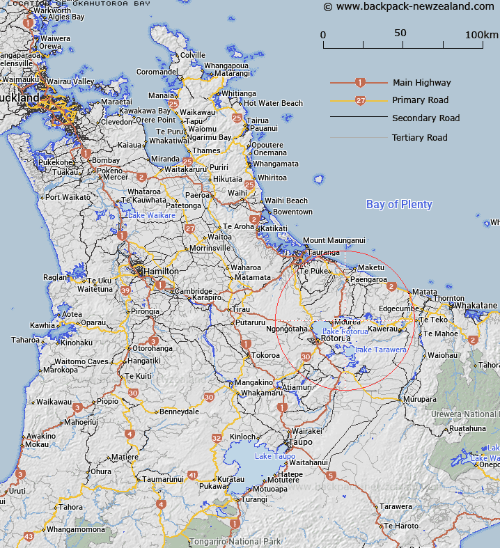
Map showing location of Ōkahutoroa Bay
LINZ description: Accepted that feature has no description; to be captured at a later date.
Latitude: -38.037187
Longitude: 176.39997
Northing: 5784600
Easting: 1898400
Land District: South Auckland
Feat Type: Bay
Latitude: -38.037187
Longitude: 176.39997
Northing: 5784600
Easting: 1898400
Land District: South Auckland
Feat Type: Bay

Scroll down to see a more detailed road map and below that a topographical map showing the location of Ōkahutoroa Bay. The road map has been supplied by openstreetmap and the topographical map of Ōkahutoroa Bay has been supplied by Land Information New Zealand (LINZ).
Yes you can use the top static map for you school/university project or personal website with a link back. Contact me for any commercial use.
[ A ] [ B ] [ C ] [ D ] [ E ] [ F ] [ G ] [ H ] [ I ] [ J ] [ K ] [ L ] [ M ] [ N ] [ O ] [ P ] [ Q ] [ R ] [ S ] [ T ] [ U ] [ V ] [ W ] [ X ] [ Y ] [ Z ]