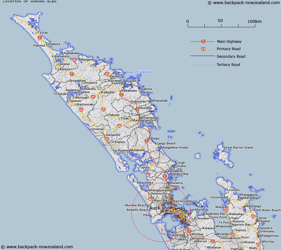
Map showing location of Norman Glen


LINZ description: Gorge in the head waters of Opanuku Stream.
Latitude: -36.909205
Longitude: 174.602936
Northing: 5914000
Easting: 1742797.6
Land District: North Auckland
Feat Type: Valley


Scroll down to see a more detailed road map and below that a topographical map showing the location of Norman Glen. The road map has been supplied by openstreetmap and the topographical map of Norman Glen has been supplied by Land Information New Zealand (LINZ).

Yes you can use the top static map for you school/university project or personal website with a link back. Contact me for any commercial use.

Norman Glen Map New Zealand


New Zealand places in our database
[ A ] [ B ] [ C ] [ D ] [ E ] [ F ] [ G ] [ H ] [ I ] [ J ] [ K ] [ L ] [ M ] [ N ] [ O ] [ P ] [ Q ] [ R ] [ S ] [ T ] [ U ] [ V ] [ W ] [ X ] [ Y ] [ Z ]


Closest 20 Valleys to Norman Glen

Malam Gully ( 1.9km )   Hannibal Gully ( 1.97km )   Todd Gully ( 2.88km )   Inspiration Valley ( 3.44km )   Blewitt Gully ( 4.6km )   Kopai Gully ( 4.74km )   Gambling Gully ( 4.96km )   Katuku Gully ( 5.1km )   Armstrong Gully ( 5.27km )   Yorke Gully ( 5.41km )   Paling Gully ( 5.53km )   Gabbie Gulch ( 5.64km )   Alice Glen ( 5.75km )   Kerry Glen ( 5.97km )   Rumpus Gully ( 6.07km )   Sarah Gully ( 6.63km )   Sarahs Gully ( 6.63km )   Greasy Gulch ( 8.13km )   Saunders Gully ( 8.28km )   Breton Glen ( 8.75km )   Duncan Gully ( 8.86km )   Blarney Glen ( 9.14km )   Foys Folly ( 9.15km )   Bruce Glen ( 9.94km )   Tarati Gully ( 10.86km )   Dublin Gully ( 11.49km )   Weta Gully ( 11.6km )   Ghost Glen ( 11.66km )   Slipper Gully ( 11.77km )   Houghton Gully ( 11.81km )   Timber Glen ( 12.22km )   Mead Gully ( 12.23km )   Para Gully ( 12.25km )   Sykes Gully ( 12.99km )   Happy Valley ( 13.12km )   Still Gully ( 13.79km )   Green Gully ( 13.85km )   Rimu Gully ( 14.29km )   Morere Gully ( 14.42km )   Destruction Gully ( 14.66km )