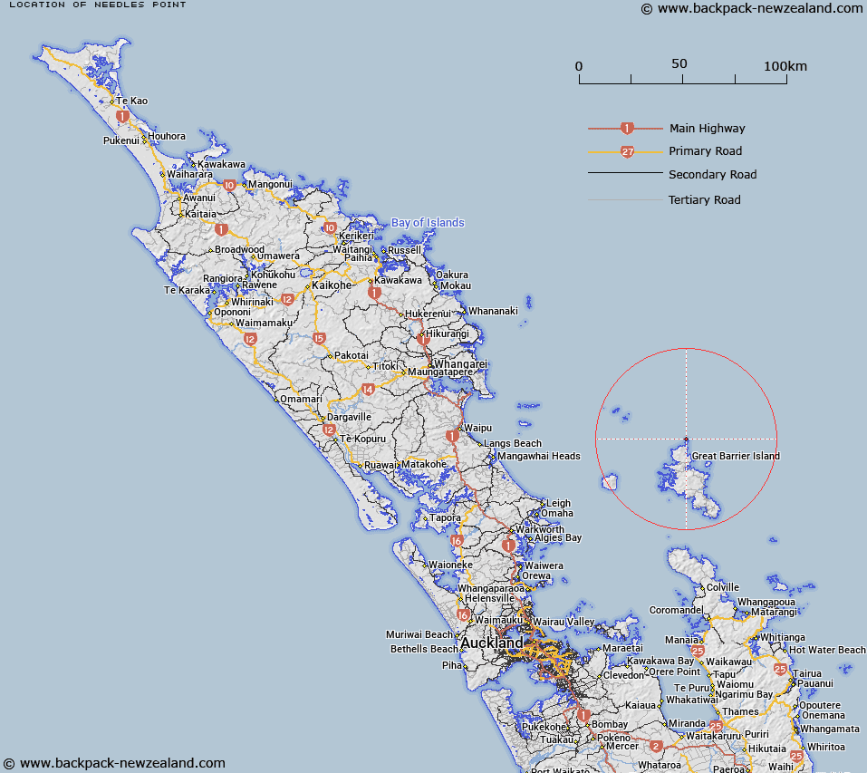
Map showing location of Needles Point
LINZ description: A point feature that protrudes sharply from the sea to a point at 75m high. The point is located approximately 300m off the north coast of Aiguilles Island, and marks the north extremity of Great Barrier Island (Aotea Island) in Hauraki Gulf / Tīkapa Moana. The feature is the largest of a group of very small islets or rocks that rise sharply up out of the sea off the north coast of Aiguilles Island. Feature shown on: NZMS260 S08 T08
Latitude: -36.025519
Longitude: 175.407255
Northing: 6010540.2
Easting: 1816910.1
Land District: North Auckland
Feat Type: Rock
Latitude: -36.025519
Longitude: 175.407255
Northing: 6010540.2
Easting: 1816910.1
Land District: North Auckland
Feat Type: Rock

Scroll down to see a more detailed road map and below that a topographical map showing the location of Needles Point. The road map has been supplied by openstreetmap and the topographical map of Needles Point has been supplied by Land Information New Zealand (LINZ).
Yes you can use the top static map for you school/university project or personal website with a link back. Contact me for any commercial use.
[ A ] [ B ] [ C ] [ D ] [ E ] [ F ] [ G ] [ H ] [ I ] [ J ] [ K ] [ L ] [ M ] [ N ] [ O ] [ P ] [ Q ] [ R ] [ S ] [ T ] [ U ] [ V ] [ W ] [ X ] [ Y ] [ Z ]