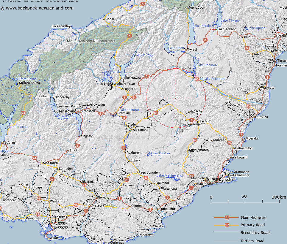
Map showing location of Mount Ida Water Race


LINZ description: Feature shown on: NZMS260 H40 Edition 1 1988 Reprinted 1994
Latitude: -44.855946
Longitude: 169.966658
Northing: 5028575
Easting: 1360327.3
Land District: Otago
Feat Type: Stream


Scroll down to see a more detailed road map and below that a topographical map showing the location of Mount Ida Water Race. The road map has been supplied by openstreetmap and the topographical map of Mount Ida Water Race has been supplied by Land Information New Zealand (LINZ).

Yes you can use the top static map for you school/university project or personal website with a link back. Contact me for any commercial use.
Mount Ida Water Race Map New Zealand


New Zealand places in our database
[ A ] [ B ] [ C ] [ D ] [ E ] [ F ] [ G ] [ H ] [ I ] [ J ] [ K ] [ L ] [ M ] [ N ] [ O ] [ P ] [ Q ] [ R ] [ S ] [ T ] [ U ] [ V ] [ W ] [ X ] [ Y ] [ Z ]


Closest 20 Streams to Mount Ida Water Race

Gate Creek ( 0.62km )   Hut Creek ( 1.95km )   Johnstones Creek ( 2.49km )   Little Peepoes ( 2.5km )   Ten Chain Creek ( 3.71km )   Healeys Creek ( 5.48km )   Home Creek ( 7.05km )   Trinity Creek ( 7.47km )   Shepherds Hut Creek ( 8.3km )   Station Creek ( 8.82km )   Otago Water Race ( 9.47km )   Tombstone Creek ( 9.64km )   Big Bremner Creek ( 9.88km )   Mata Creek ( 9.95km )   Scandinavian Water Race ( 10.22km )   Muddy Creek ( 10.85km )   Little Bremner Creek ( 11.18km )   Mountain and Enterprise Water Race ( 11.19km )   Clear Stream ( 12.1km )   Rocks Creek ( 12.39km )   Kirkwoods Creek ( 12.69km )   Williamsons Creek ( 14km )   Hills Creek ( 14.45km )   Big Germans Creek ( 14.8km )   Gorge Creek ( 14.91km )   Little Germans Creek ( 15.61km )   Pleasant Valley Creek ( 15.91km )   Glen Bouie Creek ( 15.97km )   Boundary Creek ( 16.24km )   Manuka or Stables Creek ( 16.24km )   Johnstons Creek ( 16.66km )   Idaburn ( 17.21km )   Browns Creek ( 17.61km )   Sailors Creek ( 17.64km )   Manuherikia River East Branch ( 17.93km )   Shepherds Creek ( 18.15km )   Mutton Creek ( 18.28km )   Blue Duck Creek ( 18.29km )   Pass Creek ( 18.51km )   Chimney Creek ( 18.9km )