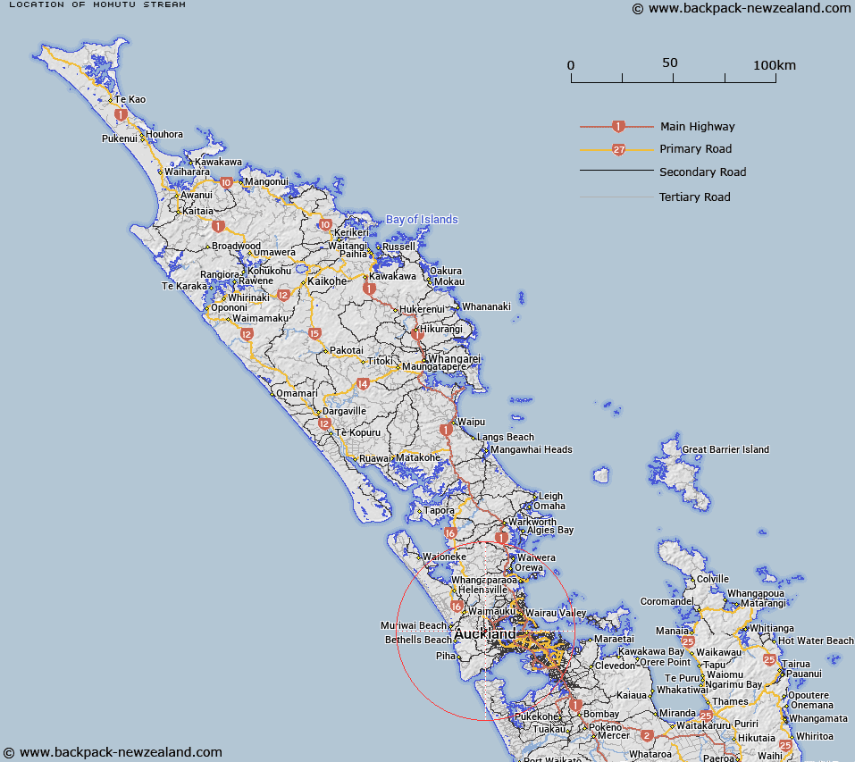
Map showing location of Momutu Stream


LINZ description: A Stream flowing easterly into Henderson Creek
Latitude: -36.844565
Longitude: 174.583669
Northing: 5921200
Easting: 1741200
Land District: North Auckland
Feat Type: Stream


Scroll down to see a more detailed road map and below that a topographical map showing the location of Momutu Stream. The road map has been supplied by openstreetmap and the topographical map of Momutu Stream has been supplied by Land Information New Zealand (LINZ).

Yes you can use the top static map for you school/university project or personal website with a link back. Contact me for any commercial use.

Momutu Stream Map New Zealand


New Zealand places in our database
[ A ] [ B ] [ C ] [ D ] [ E ] [ F ] [ G ] [ H ] [ I ] [ J ] [ K ] [ L ] [ M ] [ N ] [ O ] [ P ] [ Q ] [ R ] [ S ] [ T ] [ U ] [ V ] [ W ] [ X ] [ Y ] [ Z ]


Closest 20 Streams to Momutu Stream

Tutu Stream ( 0.93km )   Marokura Stream ( 0.95km )   Copedo Stream ( 1.62km )   Waiteputa Stream ( 1.69km )   Billy Joe Stream ( 2.03km )   Pakinui Stream ( 2.06km )   Massich Stream ( 2.06km )   Red Hill Stream ( 2.26km )   Ragusa Stream ( 2.49km )   Makomako Stream ( 2.62km )   Rarawaru Stream ( 2.77km )   Le Gros Stream ( 2.89km )   Le Gos Stream ( 2.89km )   Waiomoko Stream ( 3.03km )   Waimoko Stream ( 3.03km )   Zaremba Stream ( 3.14km )   Inkster Stream ( 3.27km )   Takitaki Stream ( 3.38km )   King Stream ( 3.41km )   Lonesome Brook ( 3.45km )   Rackstraw Stream ( 3.48km )   Tihema Stream ( 3.51km )   Taikata Stream ( 3.61km )   Socolich Stream ( 3.62km )   McEntee Stream ( 3.7km )   Sakaria Stream ( 3.71km )   Lincoln Stream ( 4.03km )   Huranui Stream ( 4.04km )   Lincoln Stream ( 4.04km )   Paremuka Stream ( 4.04km )   Ngongetepara Stream ( 4.08km )   Ngongetepara Creek ( 4.08km )   Mangatoetoe Stream ( 4.25km )   Cassel Stream ( 4.44km )   Manutewhau Stream ( 4.53km )   Lawsons Creek ( 4.53km )   M?nutewhau Creek ( 4.53km )   Aronui Stream ( 4.54km )   Matariki Stream ( 4.55km )   Pikau Stream ( 4.73km )