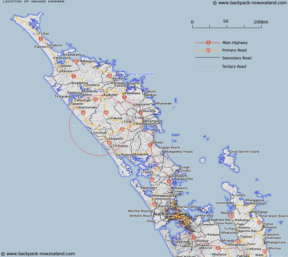
Map showing location of Maunga Kairara
LINZ description: Hill, at a height of over 300m, north of Kaihu Scenic Reserve and south of Kaihu Forest (Part Northland Conservation Park), and north of Maropiu Road and west of Collins Road
Latitude: -35.775578
Longitude: 173.76917
Northing: 6040670
Easting: 1669520
Land District: North Auckland
Feat Type: Hill
Latitude: -35.775578
Longitude: 173.76917
Northing: 6040670
Easting: 1669520
Land District: North Auckland
Feat Type: Hill

Scroll down to see a more detailed road map and below that a topographical map showing the location of Maunga Kairara. The road map has been supplied by openstreetmap and the topographical map of Maunga Kairara has been supplied by Land Information New Zealand (LINZ).
Yes you can use the top static map for you school/university project or personal website with a link back. Contact me for any commercial use.
[ A ] [ B ] [ C ] [ D ] [ E ] [ F ] [ G ] [ H ] [ I ] [ J ] [ K ] [ L ] [ M ] [ N ] [ O ] [ P ] [ Q ] [ R ] [ S ] [ T ] [ U ] [ V ] [ W ] [ X ] [ Y ] [ Z ]