Map showing location of Maomao Bay


LINZ description: Bay immediately south of Te Paki Point, on the western coast of Tawhiti Rahi Island
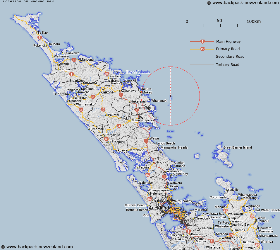
Latitude: -35.447055
Longitude: 174.733276
Northing: 6075998.2
Easting: 1757307.2
Land District: North Auckland
Feat Type: Bay


Scroll down to see a more detailed road map and below that a topographical map showing the location of Maomao Bay. The road map has been supplied by openstreetmap and the topographical map of Maomao Bay has been supplied by Land Information New Zealand (LINZ).

Yes you can use the top static map for you school/university project or personal website with a link back. Contact me for any commercial use.

Maomao Bay Map New Zealand


New Zealand places in our database
[ A ] [ B ] [ C ] [ D ] [ E ] [ F ] [ G ] [ H ] [ I ] [ J ] [ K ] [ L ] [ M ] [ N ] [ O ] [ P ] [ Q ] [ R ] [ S ] [ T ] [ U ] [ V ] [ W ] [ X ] [ Y ] [ Z ]


Closest 20 Bays to Maomao Bay

Ngaroimata Bay ( 0.77km )   Cave Bay ( 1.19km )   Rocklily Inlet ( 1.82km )   Shag Bay ( 1.87km )   Skull Bay ( 2.25km )   Crater Bay ( 3.36km )   Maoro Bay ( 3.63km )   Maroro Bay ( 3.63km )   Foam Bay ( 4.01km )   Punawai Bay ( 4.19km )   Matapouri Bay ( 24.07km )   Whale Bay ( 24.69km )   Otamure Bay ( 24.94km )   Rocky Bay ( 25.08km )   Sandy Bay ( 25.13km )   Tauwhara Bay ( 25.4km )   Woolleys Bay ( 25.48km )   Tutukaka Harbour ( 25.55km )   Moureeses Bay ( 25.72km )   Rockells Bay ( 25.82km )   Te Waite Bay ( 25.85km )   Pacific Bay ( 26.13km )   Oturu Bay ( 26.23km )   Oruaea Bay ( 26.24km )   Sheltered Bay ( 26.27km )   Church Bay ( 26.36km )   Kowharewa Bay ( 26.57km )   Pareparea Bay ( 27.14km )   Whananaki Inlet ( 27.33km )   Kaituna Bay ( 27.35km )   Whangaumu Bay ( 27.96km )   Mimiwhanga ( 29.35km )   Mimiwhangatangata Bay ( 29.35km )   Mimiwhangata Bay ( 29.35km )   Mimiwhangata ( 29.35km )   Waikahoa Bay ( 29.82km )   Ngahau Bay ( 30.55km )   Wharewa Bay ( 30.85km )   Ngunguru Bay ( 30.86km )   Taiwawe Bay ( 31.94km )