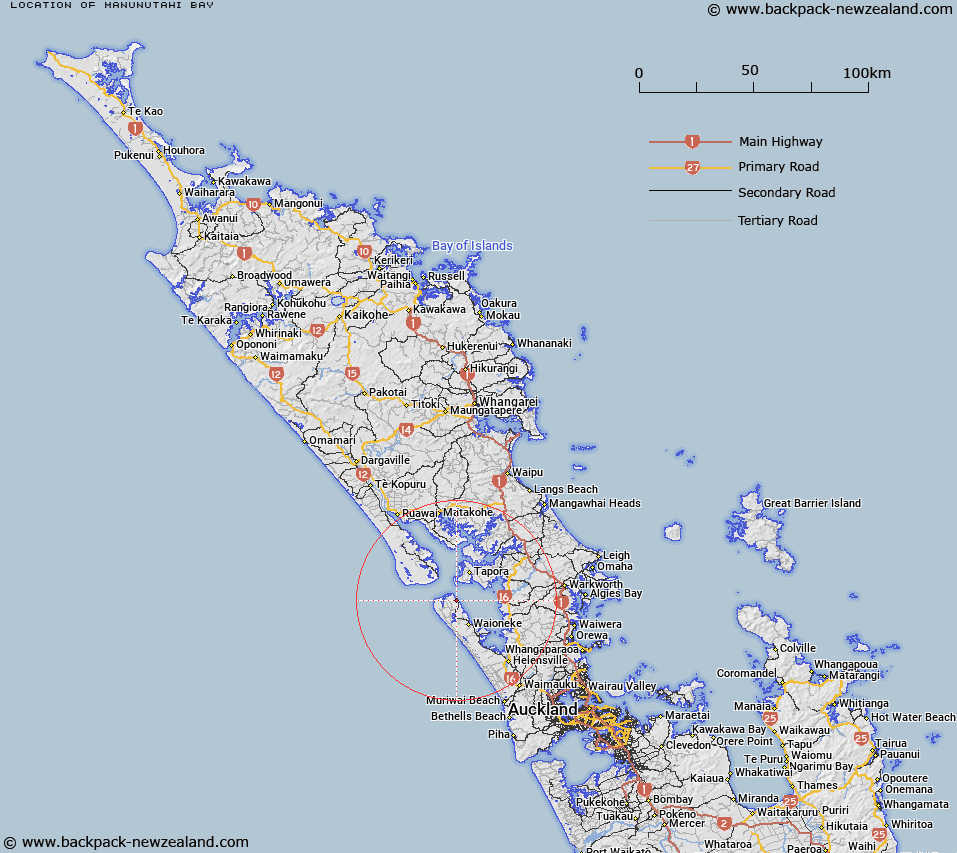
Map showing location of Mānunutahi Bay


LINZ description: A bay located approximately 0.5 km northwest of Te Kawau Point. NZTopo50 AZ30, GR 121 652 to AZ30, GR 124 651.
Latitude: -36.45269
Longitude: 174.252306
Northing: 5965111
Easting: 1712221.5
Land District: North Auckland
Feat Type: Bay


Scroll down to see a more detailed road map and below that a topographical map showing the location of Mānunutahi Bay. The road map has been supplied by openstreetmap and the topographical map of Mānunutahi Bay has been supplied by Land Information New Zealand (LINZ).

Yes you can use the top static map for you school/university project or personal website with a link back. Contact me for any commercial use.

Mānunutahi Bay Map New Zealand


New Zealand places in our database
[ A ] [ B ] [ C ] [ D ] [ E ] [ F ] [ G ] [ H ] [ I ] [ J ] [ K ] [ L ] [ M ] [ N ] [ O ] [ P ] [ Q ] [ R ] [ S ] [ T ] [ U ] [ V ] [ W ] [ X ] [ Y ] [ Z ]


Closest 20 Bays to Mānunutahi Bay

Omokoiti Bay ( 2.02km )   Waionui Inlet ( 4.92km )   Frenchmans Bay ( 18.46km )   Te Hakono Bay ( 20.68km )   Hargreaves Basin ( 20.72km )   Kawau Parua Inlet ( 21.35km )   Patamure Bay ( 22.46km )   Komiti Bay ( 22.52km )   Otaiwhata Bay ( 22.94km )   Kotiroreka Bay ( 23.01km )   Timber Bay ( 23.24km )   Opuna Bay ( 23.57km )   Hollands Bay ( 23.7km )   Otarawhai Bay ( 24.03km )   Coates Bay ( 24.05km )   Te Kiakia Bay ( 24.61km )   Oneroa Bay ( 24.83km )   Kellys Bay ( 26.81km )   Kaipara Harbour ( 28.39km )   Tangitiki Bay ( 28.73km )   Kirikiri Inlet ( 30.54km )   Te Ruruku Bay ( 30.85km )   Clarks Bay ( 32.8km )   Kopuatete Bay ( 33.83km )   Aute Bay ( 35.39km )   Pukapuka Inlet ( 40.13km )   Cowan Bay ( 40.38km )   Cowans Bay ( 40.38km )   Huawai Bay ( 41.06km )   Brownes Bay ( 41.23km )   Mahurangi Harbour ( 41.55km )   Jamieson Bay ( 41.63km )   Opahi Bay ( 41.88km )   Otuawaea Bay ( 42.07km )   Ngaio Bay ( 42.55km )   Otarawao Bay ( 42.91km )   Lagoon Bay ( 43.68km )   Dairy Bay ( 43.75km )   Big Bay ( 44.17km )   Whangaparaoa Bay ( 44.29km )