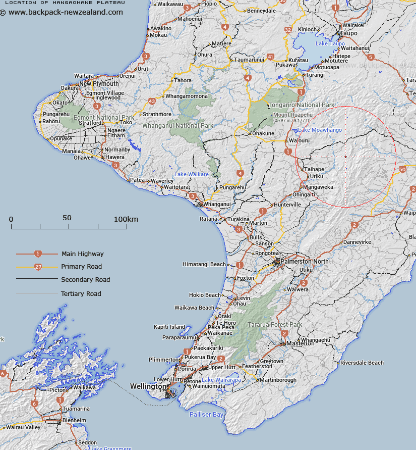
Map showing location of Mangaohane Plateau
LINZ description: A tussock grassland plateau of approximately 30 sq km, between Ohutu Ridge and Otupae Range, north west Ruahine Range
Latitude: -39.58245
Longitude: 176.131157
Northing: 5613900.4
Easting: 1868920.9
Land District: Wellington
Feat Type: Plateau
Latitude: -39.58245
Longitude: 176.131157
Northing: 5613900.4
Easting: 1868920.9
Land District: Wellington
Feat Type: Plateau

Scroll down to see a more detailed road map and below that a topographical map showing the location of Mangaohane Plateau. The road map has been supplied by openstreetmap and the topographical map of Mangaohane Plateau has been supplied by Land Information New Zealand (LINZ).
Yes you can use the top static map for you school/university project or personal website with a link back. Contact me for any commercial use.
[ A ] [ B ] [ C ] [ D ] [ E ] [ F ] [ G ] [ H ] [ I ] [ J ] [ K ] [ L ] [ M ] [ N ] [ O ] [ P ] [ Q ] [ R ] [ S ] [ T ] [ U ] [ V ] [ W ] [ X ] [ Y ] [ Z ]