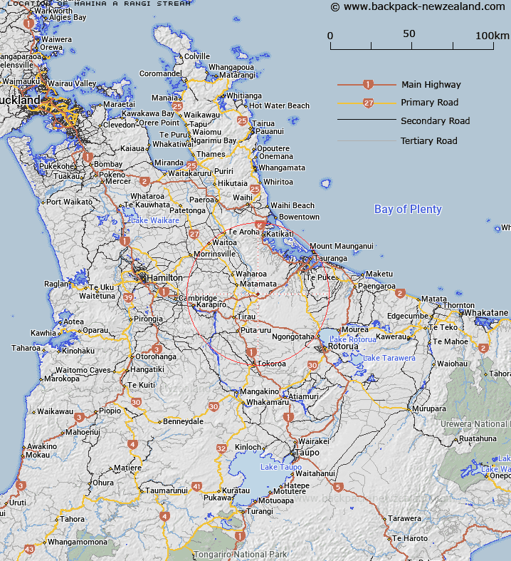
Map showing location of Māhina-a-rangi Stream
LINZ description: A stream flowing generally north-west from Kaimai Range beginning south-east of spot height 580m into Waiomou Stream approximately 10km south-east of Matamata. Feature shown on: NZMS260 T15 Edition 1 1980
Latitude: -37.857972
Longitude: 175.888944
Northing: 5806008.9
Easting: 1854156.8
Land District: South Auckland
Feat Type: Stream
Latitude: -37.857972
Longitude: 175.888944
Northing: 5806008.9
Easting: 1854156.8
Land District: South Auckland
Feat Type: Stream

Scroll down to see a more detailed road map and below that a topographical map showing the location of Māhina-a-rangi Stream. The road map has been supplied by openstreetmap and the topographical map of Māhina-a-rangi Stream has been supplied by Land Information New Zealand (LINZ).
Yes you can use the top static map for you school/university project or personal website with a link back. Contact me for any commercial use.
[ A ] [ B ] [ C ] [ D ] [ E ] [ F ] [ G ] [ H ] [ I ] [ J ] [ K ] [ L ] [ M ] [ N ] [ O ] [ P ] [ Q ] [ R ] [ S ] [ T ] [ U ] [ V ] [ W ] [ X ] [ Y ] [ Z ]