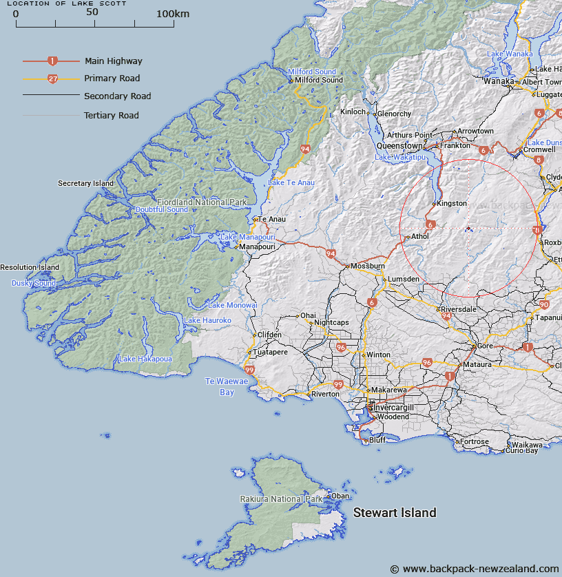
Map showing location of Lake Scott


LINZ description: Feature shown on: NZMS260 F43 Edition 1 1993
Latitude: -45.460833
Longitude: 168.912417
Northing: 4957722.9
Easting: 1280433
Land District: Southland
Feat Type: Lake


Scroll down to see a more detailed road map and below that a topographical map showing the location of Lake Scott. The road map has been supplied by openstreetmap and the topographical map of Lake Scott has been supplied by Land Information New Zealand (LINZ).

Yes you can use the top static map for you school/university project or personal website with a link back. Contact me for any commercial use.
Lake Scott Map New Zealand


New Zealand places in our database
[ A ] [ B ] [ C ] [ D ] [ E ] [ F ] [ G ] [ H ] [ I ] [ J ] [ K ] [ L ] [ M ] [ N ] [ O ] [ P ] [ Q ] [ R ] [ S ] [ T ] [ U ] [ V ] [ W ] [ X ] [ Y ] [ Z ]


Closest 20 Lakes to Lake Scott

Lake Laura ( 0.94km )   Skeleton Lakes ( 1.38km )   Misty Tarn ( 1.52km )   Lake Gow ( 2.02km )   Blue Lake ( 2.02km )   Gem Lake ( 19.43km )   Pinders Pond ( 34.33km )   Lake Te K?hua ( 35.61km )   Fraser Dam ( 36.3km )   Lake Hope ( 36.67km )   Conroys Dam ( 37.51km )   Butchers Dam ( 38.16km )   Lake Nigel ( 42.11km )   Lake Ned ( 42.13km )   Three Lagoons ( 43.75km )   Sheehey Lake ( 44.39km )   Lake Alta ( 44.87km )   Lower Manorburn Dam ( 48.33km )   Lake Wakatipu ( 50.02km )   Lake Johnson ( 52.8km )   Lake Hayes ( 54.04km )   Lake Dispute ( 54.29km )   Lake Kirkpatrick ( 55.04km )   Greenland Reservoir ( 55.62km )   Manorburn Reservoir ( 55.72km )   Lake Dunstan ( 55.78km )   Lake Onslow ( 56.58km )   Downeys Dam ( 57.8km )   Moke Lake ( 57.97km )   Lake Isobel ( 58.97km )   South Mavora Lake ( 60.28km )   Moa Creek Reservoir ( 61.92km )   North Mavora Lake ( 63.7km )   Dukes Tarn ( 64.25km )   Lake Luna ( 65.55km )   Poolburn Reservoir ( 66.8km )   Lake McKay ( 71.86km )   Acheron Lakes ( 71.89km )   Lake Rere ( 73.22km )   Lake Echo ( 73.73km )