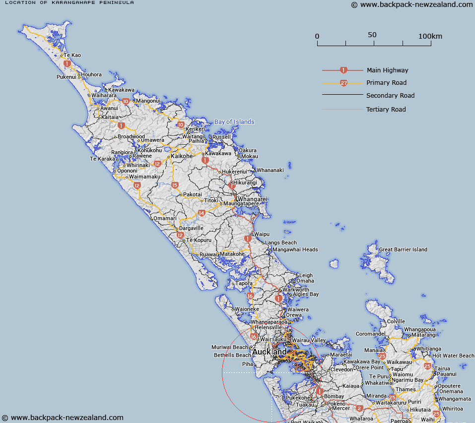
Map showing location of Karangahape Peninsula


LINZ description: A peninsula extending south into Manukau Harbour, near its entrance, approximately 2.7km long and less than 1km wide. Extending from Kakamatua Inlet northeast to Mill Bay, and down to Puponga Point and Lady Bell Point at its southern extreme. Cornwallis locality and McLachlan Memorial are located on the peninsula. NZTopo50-BB31 424029. Assigning a new name to an unnamed feature (locally known as Cornwallis Peninsula).
Latitude: -37.009178
Longitude: 174.601111
Northing: 5902911.2
Easting: 1742448.6
Land District: North Auckland
Feat Type: Peninsula


Scroll down to see a more detailed road map and below that a topographical map showing the location of Karangahape Peninsula. The road map has been supplied by openstreetmap and the topographical map of Karangahape Peninsula has been supplied by Land Information New Zealand (LINZ).

Yes you can use the top static map for you school/university project or personal website with a link back. Contact me for any commercial use.

Karangahape Peninsula Map New Zealand


New Zealand places in our database
[ A ] [ B ] [ C ] [ D ] [ E ] [ F ] [ G ] [ H ] [ I ] [ J ] [ K ] [ L ] [ M ] [ N ] [ O ] [ P ] [ Q ] [ R ] [ S ] [ T ] [ U ] [ V ] [ W ] [ X ] [ Y ] [ Z ]


Closest 20 Peninsulas to Karangahape Peninsula

Whangaparaoa Peninsula ( 45.83km )   Te Korowai-o-Te-Tonga Peninsula ( 49.03km )   T?wharanui Peninsula ( 73.67km )   Tawharanui Peninsula ( 73.67km )   Papakanui Spit ( 73.67km )   Coromandel Peninsula ( 76.66km )   Okahukura Peninsula ( 76.79km )   Ruffin Peninsula ( 81.97km )   Puketotara Peninsula ( 85.54km )   Paritata Peninsula ( 91.36km )   Omara Spit ( 98.83km )   Tiritirimatangi Peninsula ( 120.47km )   Whangamumu Peninsula ( 197.28km )   Orokawa Peninsula ( 198.66km )   Purerua Peninsula ( 213.65km )   K?whairoa Peninsula ( 236.39km )   Motuoapa Peninsula ( 239.8km )   Tauroa Peninsula ( 243.45km )   Rangitoto Peninsula ( 246.09km )   Karikari Peninsula ( 256.82km )   Karikari Peninsula ( 263.38km )   Te Wera Peninsula ( 288.39km )   Kokota (The Sandspit) ( 310.52km )   Mahia Peninsula ( 376.34km )   Farewell Spit ( 418.25km )   D'Urville Peninsula ( 434.1km )   Bishop Peninsula ( 473.52km )   Hue t? Taka Peninsula ( 482.19km )   Te Motu Kairangi / Miramar Peninsula ( 482.43km )   Brunner Peninsula ( 554.94km )   Kaikoura Peninsula ( 607.24km )   Mansons Peninsula ( 755.03km )   Banks Peninsula ( 759.82km )   Onawe ( 765.24km )   Mermaid Peninsula ( 766.12km )   Kaitorete Spit ( 775.47km )   The Peninsula ( 935.17km )   The Peninsula ( 962.66km )   Roys Peninsula ( 967.4km )   Otago Peninsula ( 1038.95km )