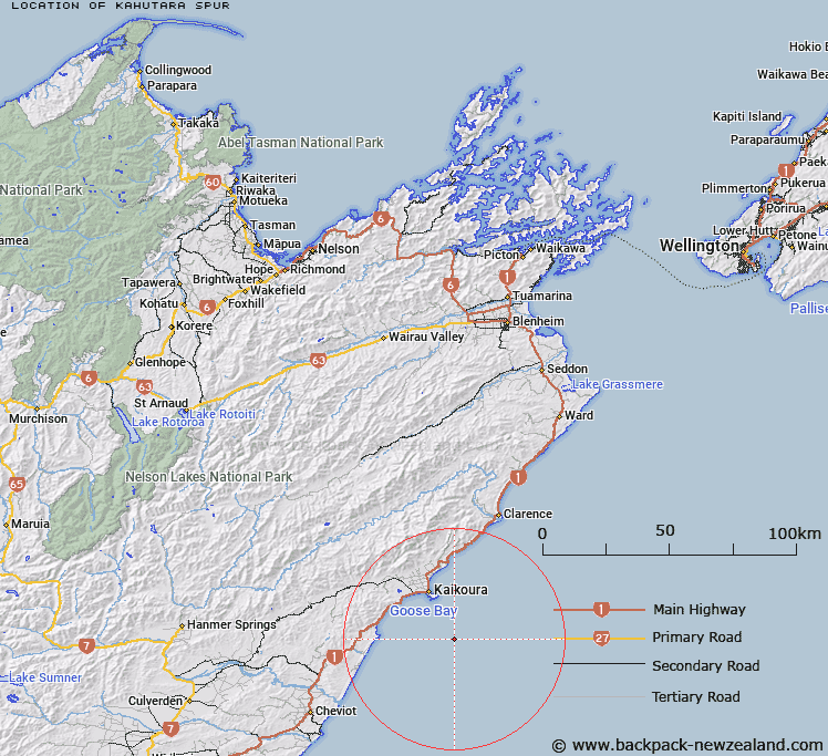
Map showing location of Kahutara Spur
LINZ description: Kaikoura shelf. A spur that forms the eastern boundary of the Kaikoura Canyon. Crest at a depth of about 900 m.
Latitude: -42.569
Longitude: 173.772667
Northing: 5286755.9
Easting: 1663417.3
Land District: Marlborough
Feat Type: Spur
Latitude: -42.569
Longitude: 173.772667
Northing: 5286755.9
Easting: 1663417.3
Land District: Marlborough
Feat Type: Spur

Scroll down to see a more detailed road map and below that a topographical map showing the location of Kahutara Spur. The road map has been supplied by openstreetmap and the topographical map of Kahutara Spur has been supplied by Land Information New Zealand (LINZ).
Yes you can use the top static map for you school/university project or personal website with a link back. Contact me for any commercial use.
[ A ] [ B ] [ C ] [ D ] [ E ] [ F ] [ G ] [ H ] [ I ] [ J ] [ K ] [ L ] [ M ] [ N ] [ O ] [ P ] [ Q ] [ R ] [ S ] [ T ] [ U ] [ V ] [ W ] [ X ] [ Y ] [ Z ]