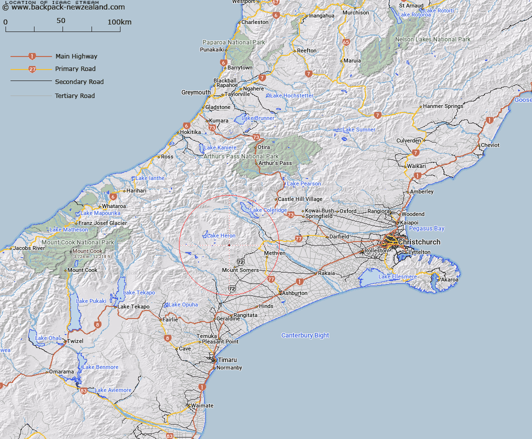
Map showing location of Isaac Stream
LINZ description: Left Bank tributary of Taylors Stream rising 2km South South-west of Old Man Peak [Trig. A (Geodetic Code ANEB)] in the Old Man Range, flowing generally southward and joining Taylors Stream 350m downstream of Saddle Creek. Block XV, Somers Survey District
Latitude: -43.547183
Longitude: 171.359781
Northing: 5177111.7
Easting: 1467500
Land District: Canterbury
Feat Type: Stream
Latitude: -43.547183
Longitude: 171.359781
Northing: 5177111.7
Easting: 1467500
Land District: Canterbury
Feat Type: Stream

Scroll down to see a more detailed road map and below that a topographical map showing the location of Isaac Stream. The road map has been supplied by openstreetmap and the topographical map of Isaac Stream has been supplied by Land Information New Zealand (LINZ).
Yes you can use the top static map for you school/university project or personal website with a link back. Contact me for any commercial use.
[ A ] [ B ] [ C ] [ D ] [ E ] [ F ] [ G ] [ H ] [ I ] [ J ] [ K ] [ L ] [ M ] [ N ] [ O ] [ P ] [ Q ] [ R ] [ S ] [ T ] [ U ] [ V ] [ W ] [ X ] [ Y ] [ Z ]