Map showing location of Hylton Burn


LINZ description: Feature shown on: NZMS260 U22 Edition 1 1983 Limited Revision 1996
Latitude: -39.886083
Longitude: 176.24325
Northing: 5579850
Easting: 1877328.9
Land District: Hawke's Bay
Feat Type: Stream
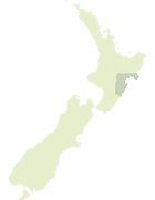

Scroll down to see a more detailed road map and below that a topographical map showing the location of Hylton Burn. The road map has been supplied by openstreetmap and the topographical map of Hylton Burn has been supplied by Land Information New Zealand (LINZ).

Yes you can use the top static map for you school/university project or personal website with a link back. Contact me for any commercial use.
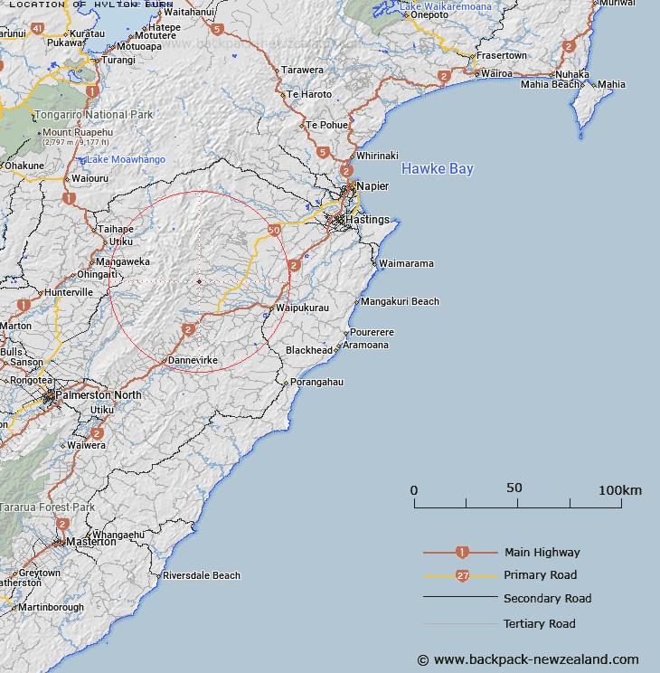
Hylton Burn Map New Zealand


New Zealand places in our database
[ A ] [ B ] [ C ] [ D ] [ E ] [ F ] [ G ] [ H ] [ I ] [ J ] [ K ] [ L ] [ M ] [ N ] [ O ] [ P ] [ Q ] [ R ] [ S ] [ T ] [ U ] [ V ] [ W ] [ X ] [ Y ] [ Z ]


Closest 20 Streams to Hylton Burn

Avoca River ( 3.91km )   Tukipo River ( 5.58km )   Ongaonga Stream ( 6.36km )   Smith Creek ( 6.84km )   Tukituki River ( 7.06km )   Middle Stream ( 8.03km )   Moorcock Stream ( 8.57km )   Tangarewai Stream ( 9.05km )   North Branch Tukituki River ( 9.18km )   Parikaka Stream ( 9.2km )   North Branch Mangatewai Stream ( 9.62km )   Mangataura Stream ( 9.93km )   Waipawa River ( 10.18km )   Rakautihiau Stream ( 10.61km )   Ashcott Water race ( 10.65km )   Mangatewai River ( 10.82km )   Triplex Creek ( 10.95km )   South Branch Mangatewai Stream ( 11.29km )   Liddles Creek ( 11.3km )   Tussock Creek ( 11.34km )   Forest Gate Water race ( 11.45km )   Kahahakuri Stream ( 11.89km )   Waterfall Creek ( 12.02km )   Rangi Creek ( 12.23km )   Oxford Creek ( 12.28km )   Forty Acre Stream ( 12.44km )   Pinnacle Creek ( 12.84km )   Lindsay Water race ( 13.67km )   Mangaoho Stream ( 13.69km )   Iron Peg Creek ( 14.07km )   North Branch Makaretu River ( 14.12km )   Iron Gate Creek ( 14.25km )   Mangapohio Stream ( 14.31km )   Howlett Creek ( 14.34km )   Trig Creek ( 14.52km )   Gold Creek ( 15.26km )   Mahurauiti Stream ( 15.79km )   Te Matau Stream ( 16.16km )   Tunup? Creek ( 16.33km )   Tunupo Creek ( 16.33km )