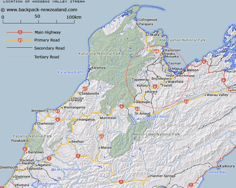
Map showing location of Hodgens Valley Stream


LINZ description: Stream flowing north into the Dove River, west of Jellyman Valley Stream.
Latitude: -41.348076
Longitude: 172.935984
Northing: 5422600
Easting: 1594644.5
Land District: Nelson
Feat Type: Stream


Scroll down to see a more detailed road map and below that a topographical map showing the location of Hodgens Valley Stream. The road map has been supplied by openstreetmap and the topographical map of Hodgens Valley Stream has been supplied by Land Information New Zealand (LINZ).

Yes you can use the top static map for you school/university project or personal website with a link back. Contact me for any commercial use.

Hodgens Valley Stream Map New Zealand


New Zealand places in our database
[ A ] [ B ] [ C ] [ D ] [ E ] [ F ] [ G ] [ H ] [ I ] [ J ] [ K ] [ L ] [ M ] [ N ] [ O ] [ P ] [ Q ] [ R ] [ S ] [ T ] [ U ] [ V ] [ W ] [ X ] [ Y ] [ Z ]


Closest 20 Streams to Hodgens Valley Stream

Jellyman Valley Stream ( 1.82km )   Hawke Valley Stream ( 2.24km )   Eden Valley Stream ( 2.73km )   Davis Valley Stream ( 3.54km )   Win Valley Stream ( 4.45km )   Dove River ( 5.25km )   Forsyth Creek ( 6.16km )   Cozens Creek ( 6.4km )   Sunset Valley Stream ( 6.87km )   Eban Valley Stream ( 7.37km )   Trass Valley Stream ( 7.45km )   Sunday Valley Stream ( 7.47km )   Forest Creek ( 7.55km )   Stanley Brook ( 7.61km )   Hoult Valley Stream ( 7.63km )   Blackbird Valley Stream ( 7.71km )   Pigeon Creek ( 7.76km )   Supplejack Valley Stream ( 7.79km )   Bryant Creek ( 7.83km )   Sunrise Valley Stream ( 8.08km )   Baigent Valley Stream ( 8.13km )   Scaife Creek ( 8.72km )   Pretty Bridge Stream ( 8.78km )   Wai-iti River ( 9.52km )   Eatwell Creek ( 9.82km )   Prices Creek ( 9.95km )   Tidd Creek ( 10.01km )   Teapot Valley Stream ( 10.52km )   Rabbit Gully Stream ( 11.19km )   Brown Creek ( 11.51km )   Redwood Valley Stream ( 11.81km )   Pitfure Stream ( 11.88km )   Eighty Eight Valley Stream ( 12.45km )   Stringer Creek ( 12.5km )   Glen Rae Stream ( 13.01km )   Eves Valley Stream ( 13.38km )   Motueka River ( 13.73km )   Orinoco Creek ( 14.01km )   Rocky Creek ( 14.46km )   Railway Gully Stream ( 15.15km )