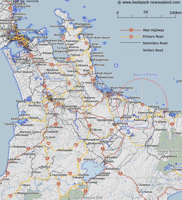
Map showing location of Hauone
LINZ description: Locality at railway crossing loop, on the East Coast Main Trunk Railway. At the 82 mile 60 chain peg between Pikowai and Otamarakau. Near the northern end of Hauone Road. Waihi South Survey District.
Latitude: -37.84899
Longitude: 176.644656
Northing: 5804676.2
Easting: 1920700
Land District: South Auckland
Feat Type: Locality
Latitude: -37.84899
Longitude: 176.644656
Northing: 5804676.2
Easting: 1920700
Land District: South Auckland
Feat Type: Locality

Scroll down to see a more detailed road map and below that a topographical map showing the location of Hauone. The road map has been supplied by openstreetmap and the topographical map of Hauone has been supplied by Land Information New Zealand (LINZ).
Yes you can use the top static map for you school/university project or personal website with a link back. Contact me for any commercial use.
[ A ] [ B ] [ C ] [ D ] [ E ] [ F ] [ G ] [ H ] [ I ] [ J ] [ K ] [ L ] [ M ] [ N ] [ O ] [ P ] [ Q ] [ R ] [ S ] [ T ] [ U ] [ V ] [ W ] [ X ] [ Y ] [ Z ]