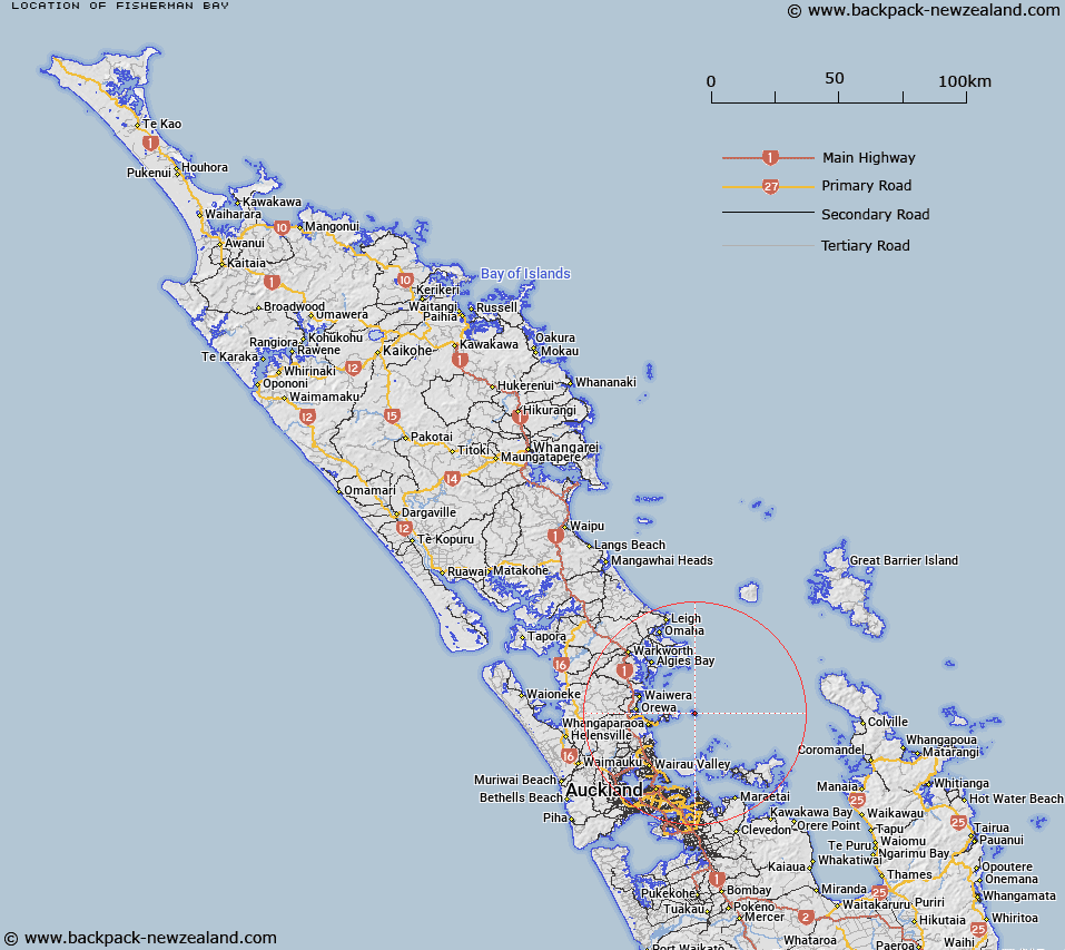
Map showing location of Fisherman Bay


LINZ description: Bay on east side of island just south of The Arches on Tiritiri Matangi Island.
Latitude: -36.59935
Longitude: 174.895009
Northing: 5947900
Easting: 1769500
Land District: North Auckland
Feat Type: Bay


Scroll down to see a more detailed road map and below that a topographical map showing the location of Fisherman Bay. The road map has been supplied by openstreetmap and the topographical map of Fisherman Bay has been supplied by Land Information New Zealand (LINZ).

Yes you can use the top static map for you school/university project or personal website with a link back. Contact me for any commercial use.

Fisherman Bay Map New Zealand


New Zealand places in our database
[ A ] [ B ] [ C ] [ D ] [ E ] [ F ] [ G ] [ H ] [ I ] [ J ] [ K ] [ L ] [ M ] [ N ] [ O ] [ P ] [ Q ] [ R ] [ S ] [ T ] [ U ] [ V ] [ W ] [ X ] [ Y ] [ Z ]


Closest 20 Bays to Fisherman Bay

Chinaman Bay ( 0.65km )   Northeast Bay ( 1.37km )   Hauraki Gulf / T?kapa Moana ( 4.55km )   Hauraki Gulf ( 4.55km )   Te Haruhi Bay ( 6.87km )   Army Bay ( 7.56km )   Okoromai Bay ( 7.65km )   Hobbs Bay ( 10.47km )   Coal Mine Bay ( 10.76km )   Matakatia Bay ( 11.32km )   Waiau Bay ( 12.54km )   Polkinghornes Bay ( 12.97km )   North East Bay ( 13.29km )   Woody Bay ( 13.42km )   West Bay ( 13.82km )   Red Bullock Bay ( 13.84km )   Arkles Bay ( 13.91km )   Greenbush Bay ( 14.3km )   Maori Garden Bay ( 14.31km )   Fowlhouse Bay ( 14.36km )   Orange Bay ( 14.54km )   Stanmore Bay ( 14.77km )   Sandy Bay ( 14.84km )   Home Bay ( 14.92km )   Pohutukawa Bay ( 15km )   Waikalabubu Bay ( 15.41km )   Whangaparaoa Bay ( 15.73km )   Long Bay ( 15.73km )   Puawai Bay ( 15.99km )   Karepiro Bay ( 16.07km )   Sandy Bay ( 16.28km )   Winstones Cove ( 16.57km )   Administration Bay ( 16.66km )   Station Bay ( 16.66km )   Torbay ( 17.32km )   Burgess Bay ( 17.37km )   Mullet Bay ( 17.37km )   Bostaquet Bay ( 17.59km )   Bosanquet Bay ( 17.59km )   Dairy Bay ( 17.65km )