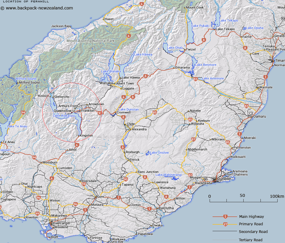
Map showing location of Fernhill


LINZ description: Suburb south west of Queenstown on Lake Wakatipu.
Latitude: -45.040221
Longitude: 168.633575
Northing: 5003300
Easting: 1256100
Land District: Otago
Feat Type: Suburb


Scroll down to see a more detailed road map and below that a topographical map showing the location of Fernhill. The road map has been supplied by openstreetmap and the topographical map of Fernhill has been supplied by Land Information New Zealand (LINZ).

Yes you can use the top static map for you school/university project or personal website with a link back. Contact me for any commercial use.

Fernhill Map New Zealand


New Zealand places in our database
[ A ] [ B ] [ C ] [ D ] [ E ] [ F ] [ G ] [ H ] [ I ] [ J ] [ K ] [ L ] [ M ] [ N ] [ O ] [ P ] [ Q ] [ R ] [ S ] [ T ] [ U ] [ V ] [ W ] [ X ] [ Y ] [ Z ]


Closest 20 Suburbs to Fernhill

Sunshine Bay ( 0.71km )   Boydtown ( 2.64km )   Bridge Hill ( 63.69km )   Jacobs Town ( 119.53km )   East Gore ( 120.28km )   West Gore ( 120.9km )   Waikiwi ( 150.24km )   Waihopai ( 150.59km )   Waverley ( 151.07km )   Grasmere ( 151.09km )   Rosedale ( 151.73km )   Gladstone ( 151.95km )   Glengarry ( 152.41km )   Avenal ( 152.48km )   Windsor ( 152.81km )   Hawthorndale ( 153.5km )   Richmond ( 153.83km )   West Invercargill ( 154.1km )   Newfield ( 154.61km )   Georgetown ( 154.81km )   Rockdale ( 155.22km )   The Rocks ( 155.62km )   Heidelberg ( 155.89km )   Strathern ( 156.06km )   Appleby ( 156.28km )   Kew ( 156.76km )   Tisbury ( 157.2km )   Kingswell ( 157.34km )   Helensbrook ( 158.13km )   Clifton ( 158.44km )   Ocean View ( 166.45km )   Sunnyvale ( 168.9km )   Abbotsford ( 169.11km )   Brockville ( 169.27km )   Halfway Bush ( 169.43km )   Green Island ( 169.55km )   Helensburgh ( 170.07km )   Wakari ( 170.64km )   Kaikorai ( 170.72km )   Bradford ( 170.72km )