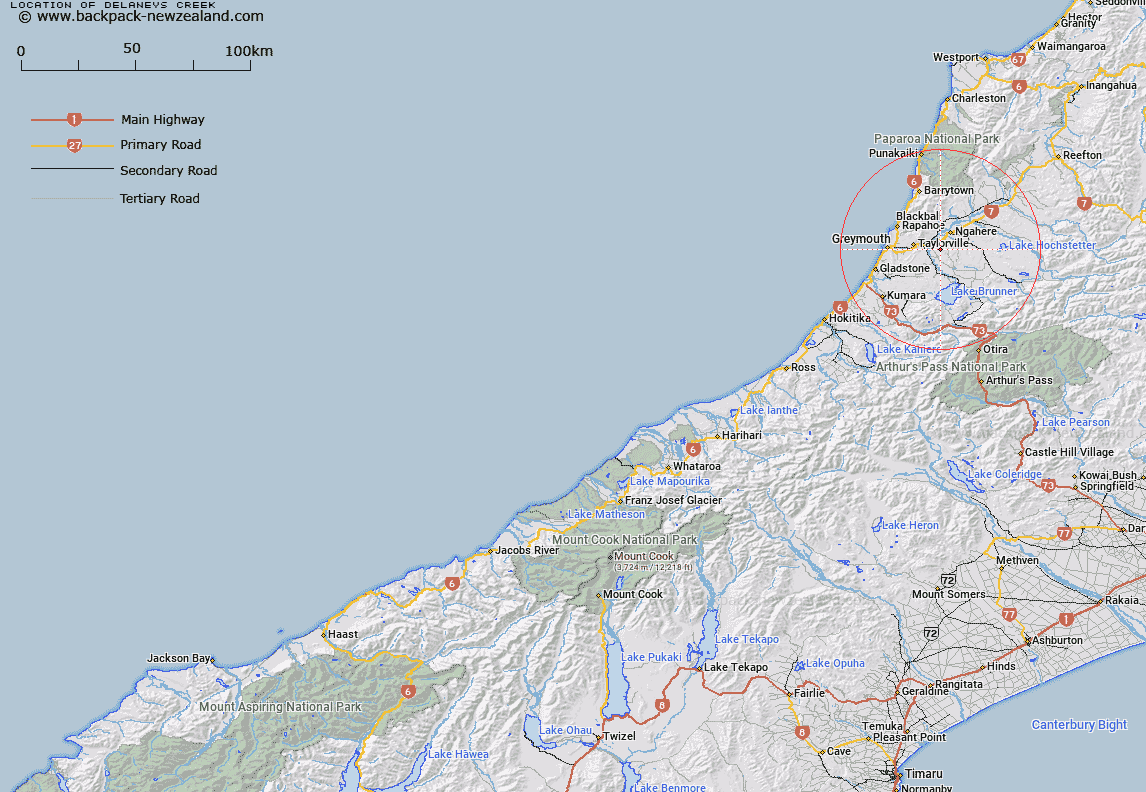
Map showing location of Delaneys Creek


LINZ description: Feature shown on: NZMS260 K32 Edition 1 1992 Limited Revision 1997
Latitude: -42.458889
Longitude: 171.408222
Northing: 5298044.4
Easting: 1469122.6
Land District: Westland
Feat Type: Stream


Scroll down to see a more detailed road map and below that a topographical map showing the location of Delaneys Creek. The road map has been supplied by openstreetmap and the topographical map of Delaneys Creek has been supplied by Land Information New Zealand (LINZ).

Yes you can use the top static map for you school/university project or personal website with a link back. Contact me for any commercial use.
Delaneys Creek Map New Zealand


New Zealand places in our database
[ A ] [ B ] [ C ] [ D ] [ E ] [ F ] [ G ] [ H ] [ I ] [ J ] [ K ] [ L ] [ M ] [ N ] [ O ] [ P ] [ Q ] [ R ] [ S ] [ T ] [ U ] [ V ] [ W ] [ X ] [ Y ] [ Z ]


Closest 20 Streams to Delaneys Creek

Livingstone Creek ( 1.8km )   Piper Creek ( 2.1km )   Dowan Creek ( 2.13km )   Ryan Creek ( 2.33km )   Reeves Creek ( 2.44km )   Rough and Tumble Creek ( 2.48km )   Black Jack Creek ( 2.54km )   Candlelight Creek ( 2.59km )   Bullocks Head Creek ( 2.82km )   Delaney Creek ( 2.91km )   Bullocks Hide Creek ( 2.95km )   Ongionui or Twelve Mile Creek ( 3.04km )   Black Jacks Creek ( 3.11km )   Joyce Creek ( 3.42km )   Haisty Creek ( 3.61km )   Steel Creek ( 4.09km )   Arnold River ( 4.27km )   Jacks Creek ( 4.28km )   Big Bills Creek ( 4.54km )   Deadman Creek ( 4.97km )   Stillwater Creek ( 5.14km )   Paddy Creek ( 5.2km )   Glasgow Creek ( 5.33km )   Langdon Creek ( 5.7km )   Lisbon Creek ( 6.12km )   Burt Creek ( 6.55km )   Butler Creek ( 6.74km )   Red Jacks Creek ( 6.78km )   Sylvester Creek ( 6.83km )   Sunday Creek ( 7.01km )   Ruby Creek ( 7.05km )   Rocky Creek ( 7.15km )   Stony Creek ( 7.28km )   Blackwater Creek ( 7.35km )   Woolley Creek ( 7.4km )   Maori Gully Creek ( 7.62km )   Lewis Creek ( 7.76km )   Bray Creek ( 7.88km )   Arnold Creek ( 7.9km )   Mill Creek ( 8.01km )