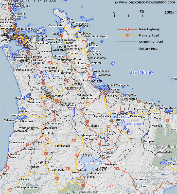
Map showing location of De Lautours Pool


LINZ description: First fishing pool upstream of SH1 road bridge over Waitahanui River
Latitude: -38.786004
Longitude: 176.07732
Northing: 5702471.4
Easting: 1867299.3
Land District: South Auckland
Feat Type: Lake


Scroll down to see a more detailed road map and below that a topographical map showing the location of De Lautours Pool. The road map has been supplied by openstreetmap and the topographical map of De Lautours Pool has been supplied by Land Information New Zealand (LINZ).

Yes you can use the top static map for you school/university project or personal website with a link back. Contact me for any commercial use.

De Lautours Pool Map New Zealand


New Zealand places in our database
[ A ] [ B ] [ C ] [ D ] [ E ] [ F ] [ G ] [ H ] [ I ] [ J ] [ K ] [ L ] [ M ] [ N ] [ O ] [ P ] [ Q ] [ R ] [ S ] [ T ] [ U ] [ V ] [ W ] [ X ] [ Y ] [ Z ]


Closest 20 Lakes to De Lautours Pool

Lake Rotongaio ( 3.25km )   Lake Hinemaiaia ( 12.19km )   Lake Taupo (Taupomoana) ( 16.81km )   Pukuriri Lagoon ( 18.54km )   Alum Lake ( 18.78km )   Lake Aratiatia ( 19.46km )   Lake Rotokawa ( 19.65km )   Lake Rotokaua ( 19.65km )   Bain Pool ( 31.15km )   Reed Pool ( 31.95km )   Lake Kuratau ( 32.89km )   Lake Pouarua ( 33.86km )   Breakaway Pool ( 36.35km )   Hardcastle Lagoon ( 37.24km )   Lake Rotopounamu ( 39.72km )   Flaxy Lake ( 43.65km )   Lake Rotokura ( 43.94km )   Lake Rotoaira ( 44.03km )   Lake Whakamaru ( 44.21km )   Lake Otamangakau ( 46.17km )   Lake Atiamuri ( 47.07km )   Lake Ohakuri ( 48.01km )   Lake Te Whaiau ( 48.59km )   Sulphur Lagoon ( 49.81km )   Arahaki Lagoon ( 51.95km )   Arohaki Lagoon ( 51.95km )   Blue Lake ( 52.11km )   Lake Orotu ( 52.29km )   Lake Ngakoro ( 53.06km )   Lake Maraetai ( 53.26km )   Emerald Lakes ( 53.32km )   Champagne Pool ( 53.54km )   Lake Ngapouri ( 54.54km )   Lake Opouri ( 54.54km )   Lake Tutaeinanga ( 54.6km )   Lake Horotea ( 56.91km )   Rotowhero (Green Lake) ( 57.75km )   Lake Ngahewa ( 58.51km )   Opal Lake ( 59.12km )   Upper Tama ( 59.33km )