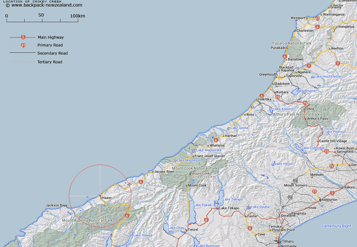
Map showing location of Crikey Creek
LINZ description: Left bank tributary near the mouth of the Haast River, rising South of Haast locality, flowing northward, and joining Haast river at it's estuary approximately 1km from the Tasman Sea. Block VII Okuru Survey District.
Latitude: -43.857175
Longitude: 169.033129
Northing: 5136337.1
Easting: 1281187.2
Land District: Westland
Feat Type: Stream
Latitude: -43.857175
Longitude: 169.033129
Northing: 5136337.1
Easting: 1281187.2
Land District: Westland
Feat Type: Stream

Scroll down to see a more detailed road map and below that a topographical map showing the location of Crikey Creek. The road map has been supplied by openstreetmap and the topographical map of Crikey Creek has been supplied by Land Information New Zealand (LINZ).
Yes you can use the top static map for you school/university project or personal website with a link back. Contact me for any commercial use.
[ A ] [ B ] [ C ] [ D ] [ E ] [ F ] [ G ] [ H ] [ I ] [ J ] [ K ] [ L ] [ M ] [ N ] [ O ] [ P ] [ Q ] [ R ] [ S ] [ T ] [ U ] [ V ] [ W ] [ X ] [ Y ] [ Z ]