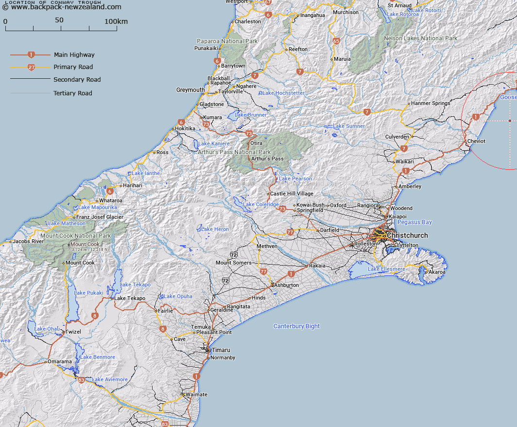
Map showing location of Conway Trough
LINZ description: A steep sided north-south trending depression incised into the continental shelf between 10km and 40km south of Kaikoura Peninsula. Depicted on Pegasus Chart©, Carter & Herzer, 1983.
Latitude: -42.6546
Longitude: 173.6286
Northing: 5277348.6
Easting: 1651522.3
Land District: Canterbury
Feat Type: Trough
Latitude: -42.6546
Longitude: 173.6286
Northing: 5277348.6
Easting: 1651522.3
Land District: Canterbury
Feat Type: Trough

Scroll down to see a more detailed road map and below that a topographical map showing the location of Conway Trough. The road map has been supplied by openstreetmap and the topographical map of Conway Trough has been supplied by Land Information New Zealand (LINZ).
Yes you can use the top static map for you school/university project or personal website with a link back. Contact me for any commercial use.
[ A ] [ B ] [ C ] [ D ] [ E ] [ F ] [ G ] [ H ] [ I ] [ J ] [ K ] [ L ] [ M ] [ N ] [ O ] [ P ] [ Q ] [ R ] [ S ] [ T ] [ U ] [ V ] [ W ] [ X ] [ Y ] [ Z ]