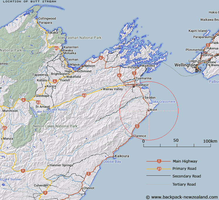
Map showing location of Butt Stream


LINZ description: Stream rising west of Weld Cone and flows northerly into a tributary of the Flaxbourne River. Block IX, Cape Campbell Survey District.
Latitude: -41.833755
Longitude: 174.149508
Northing: 5368042.8
Easting: 1695447.6
Land District: Marlborough
Feat Type: Stream


Scroll down to see a more detailed road map and below that a topographical map showing the location of Butt Stream. The road map has been supplied by openstreetmap and the topographical map of Butt Stream has been supplied by Land Information New Zealand (LINZ).

Yes you can use the top static map for you school/university project or personal website with a link back. Contact me for any commercial use.

Butt Stream Map New Zealand


New Zealand places in our database
[ A ] [ B ] [ C ] [ D ] [ E ] [ F ] [ G ] [ H ] [ I ] [ J ] [ K ] [ L ] [ M ] [ N ] [ O ] [ P ] [ Q ] [ R ] [ S ] [ T ] [ U ] [ V ] [ W ] [ X ] [ Y ] [ Z ]


Closest 20 Streams to Butt Stream

London Creek ( 3.29km )   Tatchell Creek ( 3.39km )   Tachalls Creek ( 3.39km )   Needles Creek ( 5.37km )   Mirza Creek ( 5.58km )   Boo Boo Stream ( 8.83km )   Flaxbourne River ( 9km )   Division Creek ( 10.05km )   Cattle Creek ( 10.14km )   Dunsandel Creek ( 10.42km )   Lovells Creek ( 10.97km )   Flags Creek ( 10.98km )   Fishermans Creek ( 12.1km )   Tetley Brook ( 12.36km )   Beaumont Creek ( 12.43km )   Nicholls Creek ( 12.94km )   Woodside Creek ( 13.17km )   Butchers Creek ( 13.35km )   Francis Creek ( 13.54km )   Stace Stream ( 13.59km )   Stirling Brook ( 13.68km )   Reids Creek ( 13.95km )   Blue Mountain Stream ( 14.43km )   Otuwhero River ( 14.64km )   Ure River ( 14.72km )   Waima River ( 14.72km )   Isolation Creek ( 15.2km )   Black Angel Stream ( 15.36km )   Headache Stream ( 15.44km )   Elsies Creek ( 15.46km )   Ruth Creek ( 15.74km )   Cecilia Creek ( 16.43km )   Tirohanga Stream ( 16.66km )   Deep Creek ( 17.01km )   Hog Swamp Creek ( 17.57km )   Brian Boru Stream ( 17.6km )   Ben More Stream ( 18.16km )   Starborough Creek ( 18.57km )   Richmond Brook ( 18.95km )   Box Stream ( 19.11km )