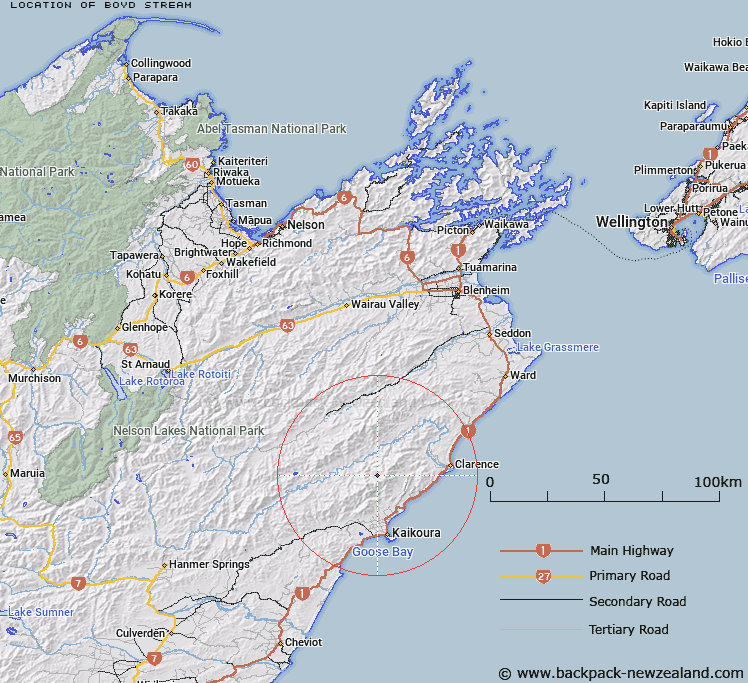
Map showing location of Boyd Stream


LINZ description: Tributary of Fidget Stream rising under Surveyor Peak.
Latitude: -42.190208
Longitude: 173.646634
Northing: 5328902.5
Easting: 1653393
Land District: Marlborough
Feat Type: Stream


Scroll down to see a more detailed road map and below that a topographical map showing the location of Boyd Stream. The road map has been supplied by openstreetmap and the topographical map of Boyd Stream has been supplied by Land Information New Zealand (LINZ).

Yes you can use the top static map for you school/university project or personal website with a link back. Contact me for any commercial use.

Boyd Stream Map New Zealand


New Zealand places in our database
[ A ] [ B ] [ C ] [ D ] [ E ] [ F ] [ G ] [ H ] [ I ] [ J ] [ K ] [ L ] [ M ] [ N ] [ O ] [ P ] [ Q ] [ R ] [ S ] [ T ] [ U ] [ V ] [ W ] [ X ] [ Y ] [ Z ]


Closest 20 Streams to Boyd Stream

Snowy Stream ( 3.09km )   Packers Stream ( 5.59km )   Happy Valley Stream ( 5.76km )   Fidget Stream ( 6.33km )   Percy Stream ( 6.79km )   Jam Stream ( 6.94km )   Dubious Stream ( 7.04km )   Treefells Stream ( 7.18km )   Stace Creek ( 7.27km )   Shearwater Stream ( 7.47km )   Lacebark Stream ( 7.52km )   Chimney Stream ( 7.85km )   Range Stream ( 7.89km )   Picnic Stream ( 8.38km )   Boundary Stream ( 8.5km )   Jordan Stream ( 8.69km )   Harnett Stream ( 9.02km )   Williams Stream ( 9.29km )   Stace Creek ( 9.49km )   Murderers Stream ( 9.84km )   Grasseed Stream ( 10.26km )   Clinton River ( 10.26km )   Digger Stream ( 10.65km )   Cow Stream ( 10.73km )   Doddemeade Stream ( 11.14km )   Rat Stream ( 11.3km )   Parapara Stream ( 11.39km )   Bluff Stream ( 11.44km )   Puhi Puhi River ( 11.6km )   Long Creek ( 11.87km )   Mill Creek ( 11.89km )   Gentle Annie Stream ( 12.5km )   Crib Stream ( 12.75km )   Ottley Stream ( 12.83km )   Blue Duck Creek ( 12.93km )   Middlehead Stream ( 13.17km )   Limestone Stream ( 13.19km )   Limestone Stream ( 13.24km )   Roaring Meg Stream ( 13.35km )   Rakautara Stream ( 13.57km )