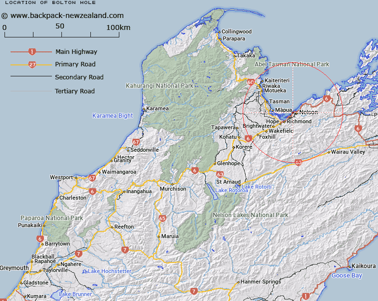
Map showing location of Bolton Hole
LINZ description: An area of deeper water used for sheltered anchorage in heavy north-westerlies. Nelson Harbour Charted to 8.5 m; NZTopo50-BQ26 210313
Latitude: -41.27
Longitude: 173.25
Northing: 5431239.5
Easting: 1620939.4
Land District: Nelson
Feat Type: Hole
Latitude: -41.27
Longitude: 173.25
Northing: 5431239.5
Easting: 1620939.4
Land District: Nelson
Feat Type: Hole

Scroll down to see a more detailed road map and below that a topographical map showing the location of Bolton Hole. The road map has been supplied by openstreetmap and the topographical map of Bolton Hole has been supplied by Land Information New Zealand (LINZ).
Yes you can use the top static map for you school/university project or personal website with a link back. Contact me for any commercial use.
[ A ] [ B ] [ C ] [ D ] [ E ] [ F ] [ G ] [ H ] [ I ] [ J ] [ K ] [ L ] [ M ] [ N ] [ O ] [ P ] [ Q ] [ R ] [ S ] [ T ] [ U ] [ V ] [ W ] [ X ] [ Y ] [ Z ]