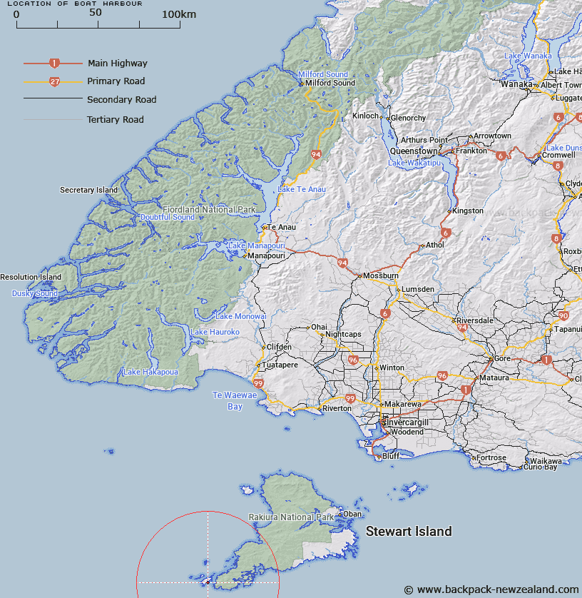
Map showing location of Boat Harbour


LINZ description: Small cove on the east coast of Big South Cape Island, on headland South of Murderers Cove. Muttonbirding block landing place
Latitude: -47.248789
Longitude: 167.41687
Northing: 4752051.7
Easting: 1177566.1
Land District: Southland
Feat Type: Bay


Scroll down to see a more detailed road map and below that a topographical map showing the location of Boat Harbour. The road map has been supplied by openstreetmap and the topographical map of Boat Harbour has been supplied by Land Information New Zealand (LINZ).

Yes you can use the top static map for you school/university project or personal website with a link back. Contact me for any commercial use.

Boat Harbour Map New Zealand


New Zealand places in our database
[ A ] [ B ] [ C ] [ D ] [ E ] [ F ] [ G ] [ H ] [ I ] [ J ] [ K ] [ L ] [ M ] [ N ] [ O ] [ P ] [ Q ] [ R ] [ S ] [ T ] [ U ] [ V ] [ W ] [ X ] [ Y ] [ Z ]


Closest 20 Bays to Boat Harbour

Te Weheka ( 0.43km )   Murderers Cove ( 0.56km )   Patupahe Bay ( 2.03km )   Puwai Bay ( 2.99km )   Bats Cave ( 3.28km )   Nicholson Harbour ( 3.32km )   Nichol Harbour ( 3.32km )   Flour Cask Bay ( 5.82km )   Tupari Bay ( 6.54km )   Sylvan Cove ( 10.89km )   Rewa Bay ( 11.83km )   Burial Cove ( 12.56km )   Broad Bay ( 13.48km )   South Arm ( 14.3km )   Shipbuilders Cove ( 14.68km )   False Easy Harbour ( 15km )   Easy Harbour ( 15.4km )   Easy Cove ( 15.4km )   Disappointment Cove ( 15.51km )   Cook Arm ( 16.17km )   Fright Cove ( 16.41km )   Evening Cove ( 16.43km )   Islet Cove ( 17.76km )   Small Craft Retreat ( 18.05km )   Sheathknife Bay ( 18.5km )   Three Legged Woodhen ( 19.29km )   Acheron Anchorage ( 19.64km )   Bens Bay ( 20.58km )   Bulling Bay ( 20.65km )   Spar Cove ( 20.67km )   Albion Inlet ( 21.04km )   North Arm ( 22.49km )   Twilight Bay ( 23.39km )   Diprose Bay ( 24.3km )   Scout Bay ( 24.41km )   Mason Bay ( 43.76km )   Toitoi Bay ( 46.2km )   Big Kuri Bay ( 49.72km )   Kuri Bay ( 49.72km )   South West Arm ( 50.82km )