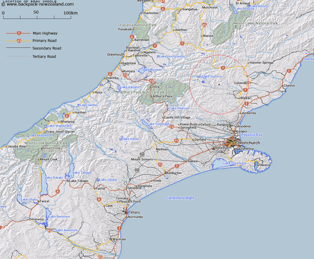
Map showing location of Beau Saddle


LINZ description: Saddle on ridge between tributaries of Hurunui and Glenrae Rivers, 1.3km west of Mount Catherine. Mytholm Survey District.
Latitude: -42.794169
Longitude: 172.44986
Northing: 5261895.2
Easting: 1555009.5
Land District: Canterbury
Feat Type: Pass


Scroll down to see a more detailed road map and below that a topographical map showing the location of Beau Saddle. The road map has been supplied by openstreetmap and the topographical map of Beau Saddle has been supplied by Land Information New Zealand (LINZ).

Yes you can use the top static map for you school/university project or personal website with a link back. Contact me for any commercial use.

Beau Saddle Map New Zealand


New Zealand places in our database
[ A ] [ B ] [ C ] [ D ] [ E ] [ F ] [ G ] [ H ] [ I ] [ J ] [ K ] [ L ] [ M ] [ N ] [ O ] [ P ] [ Q ] [ R ] [ S ] [ T ] [ U ] [ V ] [ W ] [ X ] [ Y ] [ Z ]


Closest 20 Passs to Beau Saddle

Jacks Saddle ( 6.01km )   Kiwi Saddle ( 22.11km )   Lees Pass ( 27.37km )   Weka Pass ( 27.37km )   Pahau Pass ( 29.31km )   Okuku Saddle ( 31.96km )   Ian Col ( 35.03km )   Okuku Pass ( 35.07km )   Hope Pass ( 35.29km )   Devilskin Saddle ( 36.13km )   Amuri Pass ( 37.74km )   Leslie Pass ( 37.8km )   Roche Pass ( 39.24km )   Charlies Saddle ( 42.03km )   Cox Saddle ( 44.13km )   Anne Saddle ( 44.79km )   Lyndon Pass ( 46.21km )   Lewis Pass ( 46.4km )   Harper Pass ( 46.93km )   Jacks Pass ( 47.01km )   Henry Saddle ( 48.2km )   Jollies Pass ( 48.51km )   Peters Pass ( 48.69km )   Foy Pass ( 48.77km )   Penny Pass ( 49km )   One Tree Saddle ( 49.92km )   Koeti Pass ( 50.04km )   Saddle Spur ( 50.08km )   Red Saddle ( 50.21km )   Edwards Pass ( 50.63km )   Mary Maruia Saddle ( 51.21km )   Minchin Pass ( 52.12km )   Nancy-Tass Saddle ( 52.3km )   Trent Saddle ( 53.21km )   Casey Saddle ( 53.23km )   Binser Saddle ( 54.11km )   Ada Pass ( 54.49km )   Glenrae Saddle ( 54.55km )   Rover Saddle ( 54.71km )   Ashley Saddle ( 55.38km )