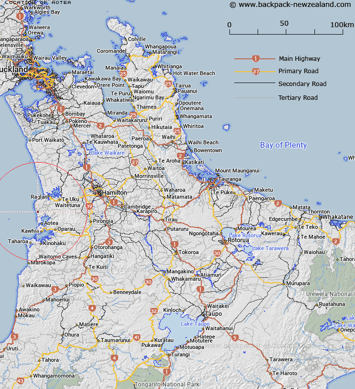
Map showing location of Aotea
LINZ description: Locality 4km South-east of Papanui Point and 1.5km inland from the Tasman Sea. Karioi Survey District.
Latitude: -37.917145
Longitude: 174.793172
Northing: 5801861.8
Easting: 1757619
Land District: South Auckland
Feat Type: Locality
Latitude: -37.917145
Longitude: 174.793172
Northing: 5801861.8
Easting: 1757619
Land District: South Auckland
Feat Type: Locality

Scroll down to see a more detailed road map and below that a topographical map showing the location of Aotea. The road map has been supplied by openstreetmap and the topographical map of Aotea has been supplied by Land Information New Zealand (LINZ).
Yes you can use the top static map for you school/university project or personal website with a link back. Contact me for any commercial use.
[ A ] [ B ] [ C ] [ D ] [ E ] [ F ] [ G ] [ H ] [ I ] [ J ] [ K ] [ L ] [ M ] [ N ] [ O ] [ P ] [ Q ] [ R ] [ S ] [ T ] [ U ] [ V ] [ W ] [ X ] [ Y ] [ Z ]