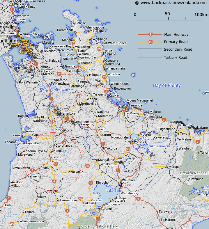
Map showing location of Waiteti
LINZ description: Locality situated approximately 6.25km South South-east of the township of Te Kuiti. Also for stream, a tributary of Mangaokewa Stream, and viaduct in vicinity. Blocks IV and VII Otanake and Block V Pakaumanu Survey Districts.
Latitude: -38.387378
Longitude: 175.194924
Northing: 5748922.3
Easting: 1791701.2
Land District: South Auckland
Feat Type: Locality
Latitude: -38.387378
Longitude: 175.194924
Northing: 5748922.3
Easting: 1791701.2
Land District: South Auckland
Feat Type: Locality

Scroll down to see a more detailed road map and below that a topographical map showing the location of Waiteti. The road map has been supplied by openstreetmap and the topographical map of Waiteti has been supplied by Land Information New Zealand (LINZ).
Yes you can use the top static map for you school/university project or personal website with a link back. Contact me for any commercial use.
[ A ] [ B ] [ C ] [ D ] [ E ] [ F ] [ G ] [ H ] [ I ] [ J ] [ K ] [ L ] [ M ] [ N ] [ O ] [ P ] [ Q ] [ R ] [ S ] [ T ] [ U ] [ V ] [ W ] [ X ] [ Y ] [ Z ]