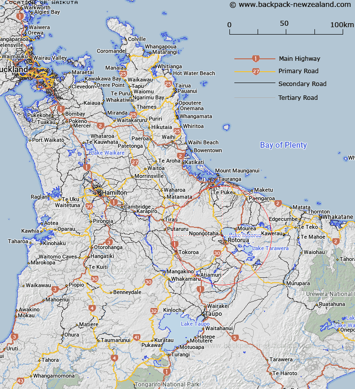
Map showing location of Waikuta
LINZ description: Located south of Ngongotaha and north of Kawaha Point western shore of Lake Rotorua
Latitude: -38.096182
Longitude: 176.224862
Northing: 5778600
Easting: 1882800
Land District: South Auckland
Feat Type: Locality
Latitude: -38.096182
Longitude: 176.224862
Northing: 5778600
Easting: 1882800
Land District: South Auckland
Feat Type: Locality

Scroll down to see a more detailed road map and below that a topographical map showing the location of Waikuta. The road map has been supplied by openstreetmap and the topographical map of Waikuta has been supplied by Land Information New Zealand (LINZ).
Yes you can use the top static map for you school/university project or personal website with a link back. Contact me for any commercial use.
[ A ] [ B ] [ C ] [ D ] [ E ] [ F ] [ G ] [ H ] [ I ] [ J ] [ K ] [ L ] [ M ] [ N ] [ O ] [ P ] [ Q ] [ R ] [ S ] [ T ] [ U ] [ V ] [ W ] [ X ] [ Y ] [ Z ]