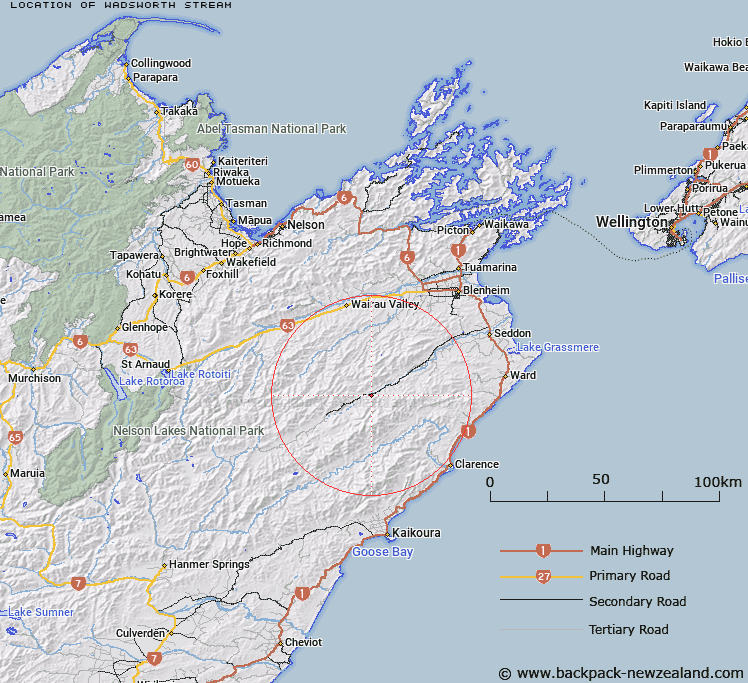
Map showing location of Wadsworth Stream
LINZ description: Right bank tributary of Awatere River rising on the northern slopes of Hodder Peak [Trig. 9 (Geodetic Code A41Q)], flowing northward and joining Awatere River 1.5km upstream of Hodder River. Block XXIII, Hodder Survey District.
Latitude: -41.895035
Longitude: 173.624573
Northing: 5361689.3
Easting: 1651810.7
Land District: Marlborough
Feat Type: Stream
Latitude: -41.895035
Longitude: 173.624573
Northing: 5361689.3
Easting: 1651810.7
Land District: Marlborough
Feat Type: Stream

Scroll down to see a more detailed road map and below that a topographical map showing the location of Wadsworth Stream. The road map has been supplied by openstreetmap and the topographical map of Wadsworth Stream has been supplied by Land Information New Zealand (LINZ).
Yes you can use the top static map for you school/university project or personal website with a link back. Contact me for any commercial use.
[ A ] [ B ] [ C ] [ D ] [ E ] [ F ] [ G ] [ H ] [ I ] [ J ] [ K ] [ L ] [ M ] [ N ] [ O ] [ P ] [ Q ] [ R ] [ S ] [ T ] [ U ] [ V ] [ W ] [ X ] [ Y ] [ Z ]