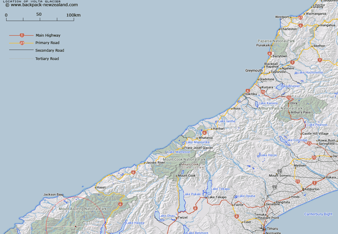
Map showing location of Volta Glacier


LINZ description: Feature shown on: NZMS260 F39
Latitude: -44.365
Longitude: 168.783389
Northing: 5078933.3
Easting: 1264009.3
Land District: Westland
Feat Type: Glacier


Scroll down to see a more detailed road map and below that a topographical map showing the location of Volta Glacier. The road map has been supplied by openstreetmap and the topographical map of Volta Glacier has been supplied by Land Information New Zealand (LINZ).

Yes you can use the top static map for you school/university project or personal website with a link back. Contact me for any commercial use.
Volta Glacier Map New Zealand


New Zealand places in our database
[ A ] [ B ] [ C ] [ D ] [ E ] [ F ] [ G ] [ H ] [ I ] [ J ] [ K ] [ L ] [ M ] [ N ] [ O ] [ P ] [ Q ] [ R ] [ S ] [ T ] [ U ] [ V ] [ W ] [ X ] [ Y ] [ Z ]


Closest 20 Glaciers to Volta Glacier

Vulcan Glacier ( 0.93km )   Upper Volta Glacier ( 1.65km )   Lower Volta Glacier ( 2.11km )   Lucas Glacier ( 2.15km )   Alick Glacier ( 2.69km )   Kitchener Glacier ( 3.82km )   Tartarus Icefall ( 4.05km )   Purity Glacier ( 5.2km )   Therma Glacier ( 5.24km )   Suet Glacier ( 5.94km )   Dipso Glacier ( 6.1km )   Hood Glacier ( 6.81km )   Iso Glacier ( 6.87km )   Bonar Glacier ( 6.92km )   Flight Deck ( 6.99km )   Breakaway ( 7.85km )   Avalanche Glacier ( 8.08km )   Ogilvie Glacier ( 8.52km )   Maud Francis Glacier ( 8.75km )   Rob Roy Glacier ( 10.34km )   Arawata Glacier ( 11.16km )   Arawhata Glacier ( 11.16km )   Bell Glacier ( 12.25km )   Pearl Drop Ice ( 13.42km )   Ice King Tops ( 14.02km )   TearDrop Ice ( 14.17km )   Hugh Ice ( 14.43km )   Christopher Johnson Glacier ( 14.68km )   Donald Glacier ( 14.99km )   Liverpool Glacier ( 15.17km )   Mercer Glacier ( 15.51km )   Reid Glacier ( 16.41km )   Pench Glacier ( 16.45km )   Pickelhaube Glacier ( 16.7km )   Dart Glacier ( 16.85km )   Park Glacier ( 17.64km )   Snow White Glacier ( 18.63km )   Marshall Glacier ( 19.8km )   Hesse Glacier ( 20.83km )   Isobel Glacier ( 21.15km )