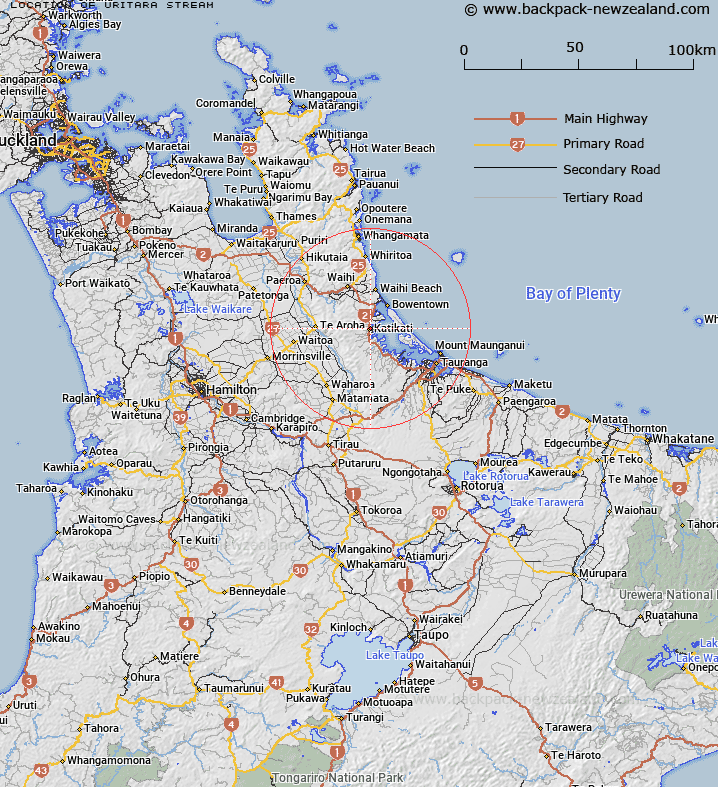
Map showing location of Uritara Stream


LINZ description: Rises at Kaimai Range and flows easterly into Tauranga Harbour.
Latitude: -37.550047
Longitude: 175.91937
Northing: 5840100
Easting: 1857900
Land District: South Auckland
Feat Type: Stream


Scroll down to see a more detailed road map and below that a topographical map showing the location of Uritara Stream. The road map has been supplied by openstreetmap and the topographical map of Uritara Stream has been supplied by Land Information New Zealand (LINZ).

Yes you can use the top static map for you school/university project or personal website with a link back. Contact me for any commercial use.

Uritara Stream Map New Zealand


New Zealand places in our database
[ A ] [ B ] [ C ] [ D ] [ E ] [ F ] [ G ] [ H ] [ I ] [ J ] [ K ] [ L ] [ M ] [ N ] [ O ] [ P ] [ Q ] [ R ] [ S ] [ T ] [ U ] [ V ] [ W ] [ X ] [ Y ] [ Z ]


Closest 20 Streams to Uritara Stream

Tahawai Stream ( 2.41km )   McKinney Stream ( 2.83km )   Ngututuru Stream ( 4.35km )   Ngututuhire Stream ( 4.35km )   Tuapiro Creek ( 4.54km )   Boyd Stream ( 4.89km )   Wairoa Stream ( 6.36km )   Wharawhara Stream ( 6.5km )   Te Rereatukahia Stream ( 6.84km )   Hikurangi Stream ( 7.02km )   Te Mania Stream ( 7.43km )   Tuapo Stream ( 7.76km )   Waitengaue Stream ( 7.85km )   Tamaki Stream ( 8.98km )   Ananui Stream ( 9.18km )   Waitekohe Stream ( 9.5km )   Firewood Stream ( 10.28km )   Waiau River ( 11.2km )   Waimata Stream ( 11.31km )   Kauritatahi Stream ( 11.36km )   Poupou Stream ( 11.52km )   Waipapa Stream ( 11.75km )   Wahine Stream ( 11.76km )   Okawe Stream ( 12km )   Pohomihi Stream ( 12.7km )   McNichol Stream ( 12.88km )   Wairakau Stream ( 13.15km )   Mangakiri Stream ( 13.24km )   Waiharakeke East Stream ( 13.38km )   Waipupu Stream ( 13.39km )   Trig Stream ( 13.53km )   Bluff Stream ( 13.61km )   Mill Creek ( 13.74km )   Mangarua Stream ( 13.88km )   McLaren Stream ( 14.15km )   Whatakao Stream ( 14.21km )   Waiorongomai Stream ( 14.26km )   Magill Stream ( 14.32km )   McGill Stream ( 14.32km )   Mangamaire Stream ( 14.51km )