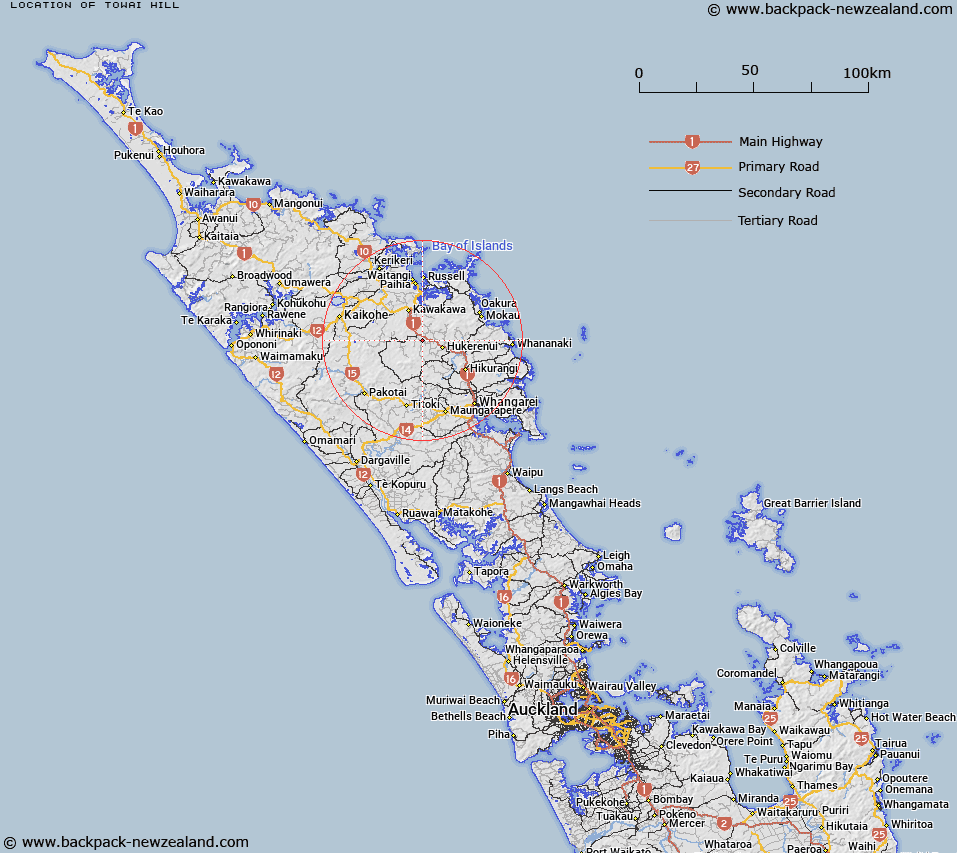
Map showing location of Towai Hill
LINZ description: A 185m hill west of Towai Stream, 2.9km south-east of Maromaku.
Latitude: -35.494849
Longitude: 174.121269
Northing: 6071500
Easting: 1701700
Land District: North Auckland
Feat Type: Hill
Latitude: -35.494849
Longitude: 174.121269
Northing: 6071500
Easting: 1701700
Land District: North Auckland
Feat Type: Hill

Scroll down to see a more detailed road map and below that a topographical map showing the location of Towai Hill. The road map has been supplied by openstreetmap and the topographical map of Towai Hill has been supplied by Land Information New Zealand (LINZ).
Yes you can use the top static map for you school/university project or personal website with a link back. Contact me for any commercial use.
[ A ] [ B ] [ C ] [ D ] [ E ] [ F ] [ G ] [ H ] [ I ] [ J ] [ K ] [ L ] [ M ] [ N ] [ O ] [ P ] [ Q ] [ R ] [ S ] [ T ] [ U ] [ V ] [ W ] [ X ] [ Y ] [ Z ]