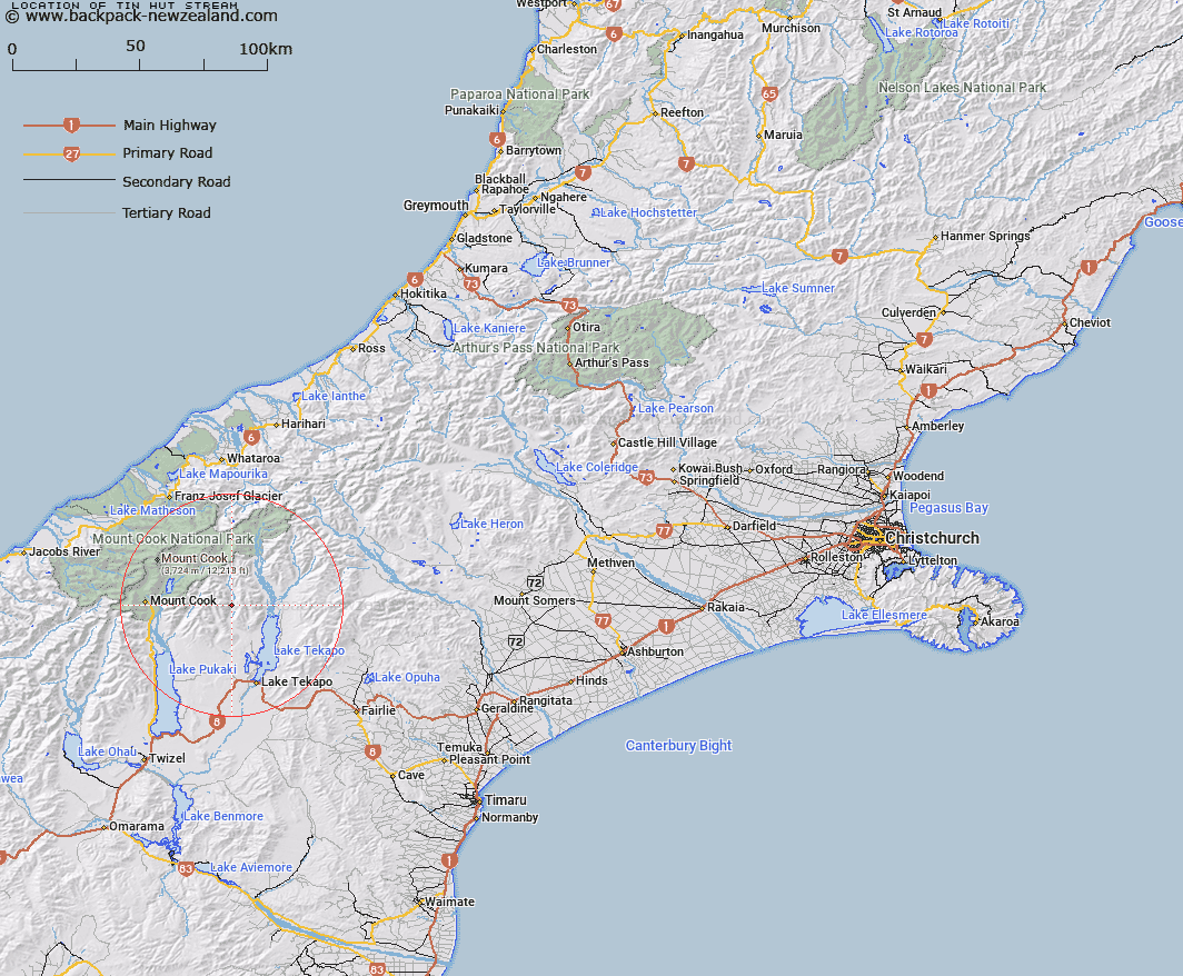
Map showing location of Tin Hut Stream


LINZ description: Right bank tributary of Cass River, rising in the Gamack Range 2.75km South of Mount William Grant, flowing South-eastward, and joining Cass River 2.5km East of Mount Haszard. Blocks VIII and IX Cass Survey District.
Latitude: -43.745492
Longitude: 170.397913
Northing: 5153103.4
Easting: 1390487
Land District: Canterbury
Feat Type: Stream


Scroll down to see a more detailed road map and below that a topographical map showing the location of Tin Hut Stream. The road map has been supplied by openstreetmap and the topographical map of Tin Hut Stream has been supplied by Land Information New Zealand (LINZ).

Yes you can use the top static map for you school/university project or personal website with a link back. Contact me for any commercial use.

Tin Hut Stream Map New Zealand


New Zealand places in our database
[ A ] [ B ] [ C ] [ D ] [ E ] [ F ] [ G ] [ H ] [ I ] [ J ] [ K ] [ L ] [ M ] [ N ] [ O ] [ P ] [ Q ] [ R ] [ S ] [ T ] [ U ] [ V ] [ W ] [ X ] [ Y ] [ Z ]


Closest 20 Streams to Tin Hut Stream

Mistake River ( 4.78km )   Fork Stream ( 5.41km )   Ribbonwood Creek ( 7.65km )   Little Hoggett Stream ( 7.85km )   Sutherland Creek ( 8.12km )   Cass River ( 8.24km )   Pollock Stream ( 8.3km )   Pikes Peak Stream ( 9.33km )   Fraser Stream ( 9.64km )   Manning Stream ( 10.25km )   Ailsa Stream ( 10.43km )   Second Waterfall Stream ( 10.99km )   Jollie River ( 11.54km )   Pinnacle Stream ( 11.57km )   Littles Stream ( 11.99km )   Cass River East Branch ( 12.13km )   First Waterfall Stream ( 12.17km )   Cass River West Branch ( 12.48km )   Bird Stream ( 13.2km )   Coal River ( 14.13km )   Arthurs Creek ( 14.87km )   Ninety Five Stream ( 15.27km )   Redstone Stream ( 15.58km )   Station Stream ( 15.76km )   Second Creek ( 15.91km )   Gorilla Stream ( 15.99km )   Irish Creek ( 16.21km )   Joseph Stream ( 16.24km )   Murchison River ( 16.6km )   Weka Stream ( 16.61km )   Rankin Stream ( 16.64km )   Mount Gerald Stream ( 16.71km )   Silver Stream ( 17.35km )   Ribbonwood Stream ( 17.83km )   First Creek ( 17.86km )   Chop Creek ( 18.27km )   Parsons Creek ( 18.81km )   Godley River North Branch ( 19.03km )   Oatmeal Creek ( 19.18km )   Stony Stream ( 19.5km )