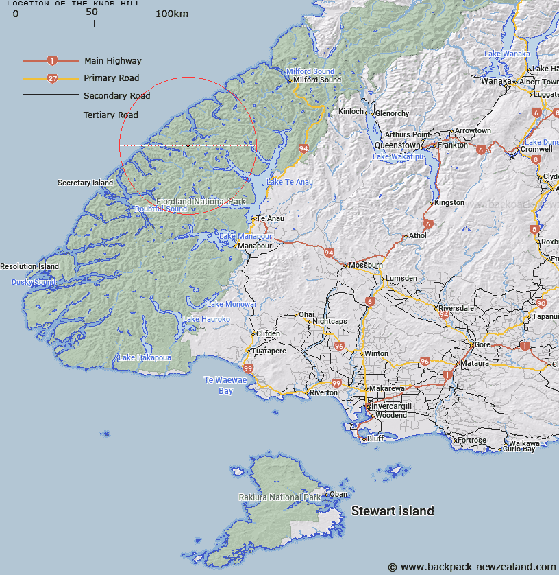
Map showing location of The Knob Hill


LINZ description: An outstanding feature in Stillwater Valley, on the South side of the Stillwater River, opposite it's junction with Madman Creek. Caswell Sound area
Latitude: -45.021884
Longitude: 167.352075
Northing: 4999079.4
Easting: 1155027
Land District: Southland
Feat Type: Hill


Scroll down to see a more detailed road map and below that a topographical map showing the location of The Knob Hill. The road map has been supplied by openstreetmap and the topographical map of The Knob Hill has been supplied by Land Information New Zealand (LINZ).

Yes you can use the top static map for you school/university project or personal website with a link back. Contact me for any commercial use.

The Knob Hill Map New Zealand


New Zealand places in our database
[ A ] [ B ] [ C ] [ D ] [ E ] [ F ] [ G ] [ H ] [ I ] [ J ] [ K ] [ L ] [ M ] [ N ] [ O ] [ P ] [ Q ] [ R ] [ S ] [ T ] [ U ] [ V ] [ W ] [ X ] [ Y ] [ Z ]


Closest 20 Hills to The Knob Hill

Vigil Peak ( 1.59km )   Virgil Peak ( 1.92km )   Spot Hill ( 3.1km )   Expedition Peak ( 3.46km )   Camp Hill ( 3.59km )   Mary Peaks ( 4.47km )   Saddle Hill ( 6.14km )   Christmas Hill ( 6.71km )   Donald Mountain ( 6.97km )   Mount Donald ( 6.98km )   Mount Alexander ( 7.38km )   Fleetwood Peak ( 8.79km )   West Peak Marguerite Peaks ( 9.25km )   West Peak ( 9.32km )   Mount Pluvius ( 9.48km )   Pluvius Mountain ( 9.48km )   Nita Peak ( 9.94km )   East Peak ( 9.98km )   East Peak Marguerite Peaks ( 10km )   Mount Murrell ( 10.48km )   Middle Peak ( 11.1km )   Mount Henry ( 11.89km )   Coote Hill ( 12.97km )   Mount Tanilba ( 13.05km )   Mount Elwood ( 13.42km )   Mount Elder ( 14.71km )   Mount Pisgah ( 15km )   Mount Paulina ( 15.54km )   Mount Caldwell ( 16.89km )   Victor Peak ( 17.21km )   Mount Irene ( 17.36km )   Mount Sydney Dacres ( 18.52km )   Overhead Cone ( 19.01km )   Smith Peak ( 19.12km )   Woodcutters Peak ( 19.44km )   Double Peak ( 20.64km )   Saddle Back Peak ( 22.7km )   Rugged Peak ( 22.73km )   Command Peak ( 22.81km )   Turn Peak ( 23.14km )