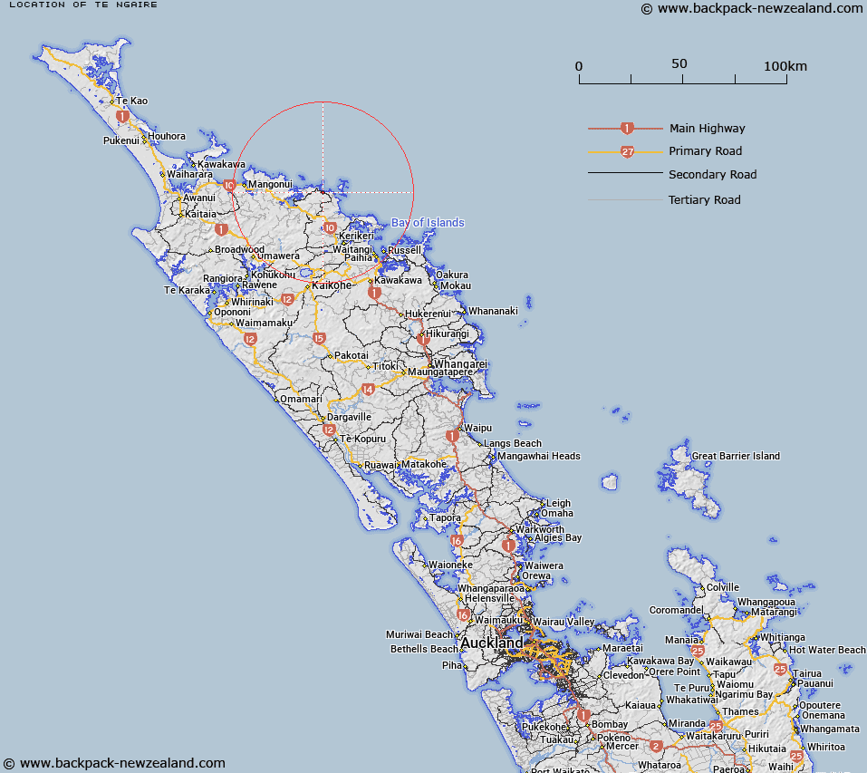
Map showing location of Te Ngaire
LINZ description: Coastal location approximately 10 km north east of Kaeo
Latitude: -35.022657
Longitude: 173.868157
Northing: 6124100
Easting: 1679200
Land District: North Auckland
Feat Type: Locality
Latitude: -35.022657
Longitude: 173.868157
Northing: 6124100
Easting: 1679200
Land District: North Auckland
Feat Type: Locality

Scroll down to see a more detailed road map and below that a topographical map showing the location of Te Ngaire. The road map has been supplied by openstreetmap and the topographical map of Te Ngaire has been supplied by Land Information New Zealand (LINZ).
Yes you can use the top static map for you school/university project or personal website with a link back. Contact me for any commercial use.
[ A ] [ B ] [ C ] [ D ] [ E ] [ F ] [ G ] [ H ] [ I ] [ J ] [ K ] [ L ] [ M ] [ N ] [ O ] [ P ] [ Q ] [ R ] [ S ] [ T ] [ U ] [ V ] [ W ] [ X ] [ Y ] [ Z ]