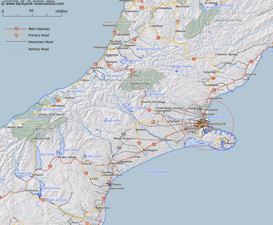
Map showing location of Te Huingi Manu
LINZ description: Wildlife refuge north east of Bromley in Christchurch.
Latitude: -43.531676
Longitude: 172.710403
Northing: 5180100
Easting: 1576600
Land District: Canterbury
Feat Type: Reserve (non-CPA)
Latitude: -43.531676
Longitude: 172.710403
Northing: 5180100
Easting: 1576600
Land District: Canterbury
Feat Type: Reserve (non-CPA)

Scroll down to see a more detailed road map and below that a topographical map showing the location of Te Huingi Manu. The road map has been supplied by openstreetmap and the topographical map of Te Huingi Manu has been supplied by Land Information New Zealand (LINZ).
Yes you can use the top static map for you school/university project or personal website with a link back. Contact me for any commercial use.
[ A ] [ B ] [ C ] [ D ] [ E ] [ F ] [ G ] [ H ] [ I ] [ J ] [ K ] [ L ] [ M ] [ N ] [ O ] [ P ] [ Q ] [ R ] [ S ] [ T ] [ U ] [ V ] [ W ] [ X ] [ Y ] [ Z ]