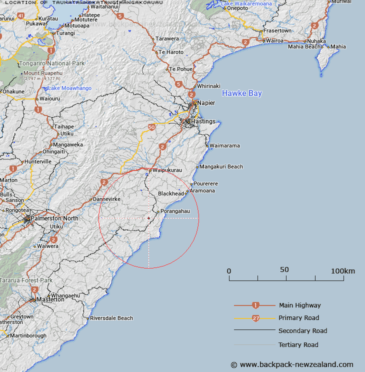
Map showing location of Taumatawhakatangihangakoauau
LINZ description: Hill located approximately 8km south-west from Porangahau and 4km east from Mangaorapa. Height: 305m
Latitude: -40.346219
Longitude: 176.539141
Northing: 5527800
Easting: 1900600
Land District: Hawke's Bay
Feat Type: Hill
Latitude: -40.346219
Longitude: 176.539141
Northing: 5527800
Easting: 1900600
Land District: Hawke's Bay
Feat Type: Hill

Scroll down to see a more detailed road map and below that a topographical map showing the location of Taumatawhakatangihangakoauau. The road map has been supplied by openstreetmap and the topographical map of Taumatawhakatangihangakoauau has been supplied by Land Information New Zealand (LINZ).
Yes you can use the top static map for you school/university project or personal website with a link back. Contact me for any commercial use.
[ A ] [ B ] [ C ] [ D ] [ E ] [ F ] [ G ] [ H ] [ I ] [ J ] [ K ] [ L ] [ M ] [ N ] [ O ] [ P ] [ Q ] [ R ] [ S ] [ T ] [ U ] [ V ] [ W ] [ X ] [ Y ] [ Z ]