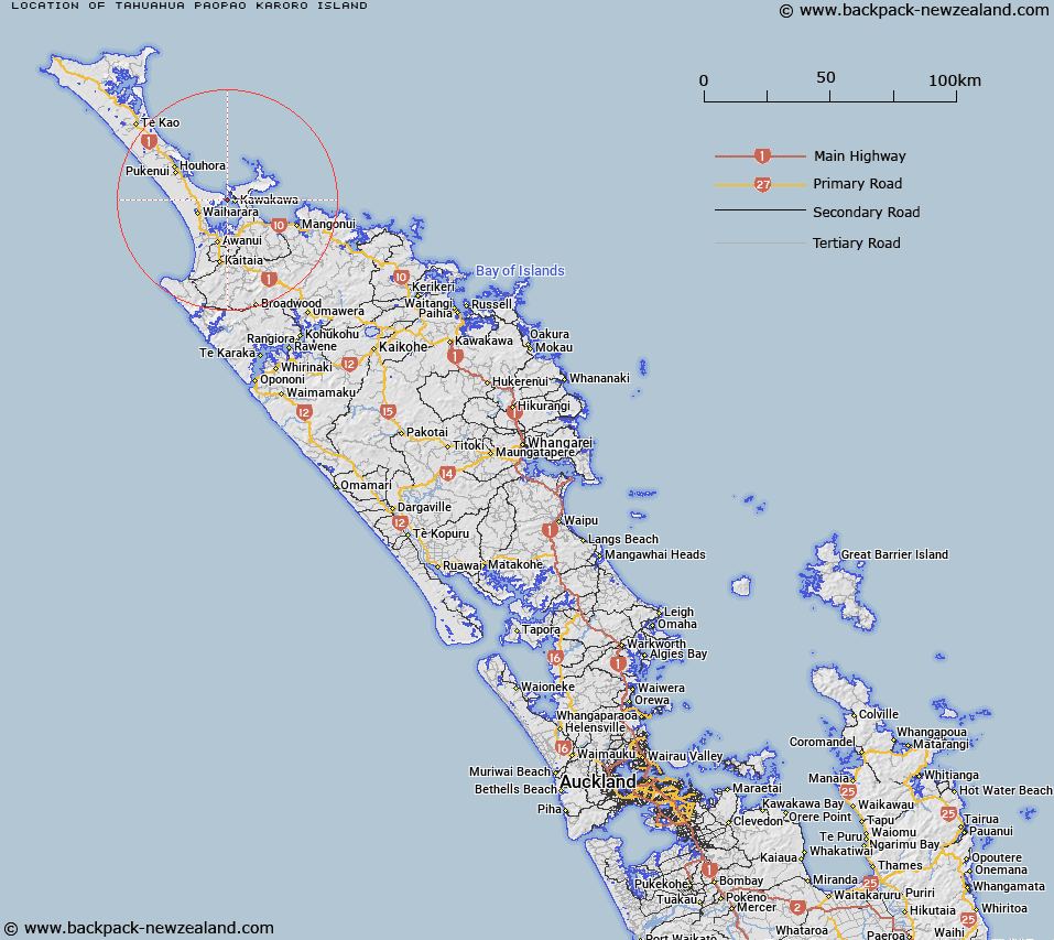
Map showing location of Tāhuahua-Paopao-Karoro Island


LINZ description: A small estuarine island up to 1km in length at low tide, near the entrance to Rangaunu Harbour and west of Karikari Peninsula. Feature shown on: NZMS260 O04 Edition 1 1984; NZTopo50-AU26 265372.
Latitude: -34.908722
Longitude: 173.291861
Northing: 6137040.4
Easting: 1626662.4
Land District: North Auckland
Feat Type: Island


Scroll down to see a more detailed road map and below that a topographical map showing the location of Tāhuahua-Paopao-Karoro Island. The road map has been supplied by openstreetmap and the topographical map of Tāhuahua-Paopao-Karoro Island has been supplied by Land Information New Zealand (LINZ).

Yes you can use the top static map for you school/university project or personal website with a link back. Contact me for any commercial use.

Tāhuahua-Paopao-Karoro Island Map New Zealand


New Zealand places in our database
[ A ] [ B ] [ C ] [ D ] [ E ] [ F ] [ G ] [ H ] [ I ] [ J ] [ K ] [ L ] [ M ] [ N ] [ O ] [ P ] [ Q ] [ R ] [ S ] [ T ] [ U ] [ V ] [ W ] [ X ] [ Y ] [ Z ]


Closest 20 Islands to Tāhuahua-Paopao-Karoro Island

Tangihana Shell Bank ( 0.98km )   Scheigis Rock ( 2.14km )   Motutara Rocks ( 5.9km )   Rat Island ( 6.54km )   Motukaraka Island ( 6.85km )   Mangrove Island ( 8.26km )   Omaia Island ( 9.03km )   Okatakata Islands ( 10km )   Sugarloaf Island ( 15.16km )   Motutapu Island ( 15.46km )   Green Island ( 15.46km )   Puketu Island ( 15.65km )   Whale Island ( 15.65km )   Tuputupungahau Island ( 15.65km )   Moturoa Islands ( 15.82km )   Moturoa Island ( 16.15km )   Tokoroa Island ( 16.2km )   Rocky Island ( 17.53km )   Motuotuna Island ( 17.73km )   Motu Puruhi Island ( 21.05km )   Simmonds Islands ( 21.06km )   Terakautuhaka Island ( 21.08km )   Paewhenua Island ( 25.93km )   Tekura Rocks ( 25.93km )   Motutara Island ( 25.99km )   Rahui Rock ( 30.45km )   Wekarua Island (Sugar Loaf) ( 33.22km )   Bird Rock ( 35.71km )   Cone Rock (Horoiwi) ( 36.6km )   Seal Rock ( 38.08km )   Pa Island ( 38.47km )   Matanehunehu Island ( 38.47km )   Kawa Rock ( 39.28km )   Hororoa Rock ( 39.4km )   Motu Kauri Island ( 42.57km )   Motu Wai Island (Red Island) ( 43.09km )   Shark Island ( 43.63km )   Cone Island ( 43.65km )   Ohauroro Island ( 43.8km )   Te Wakatehaua Island ( 44.31km )