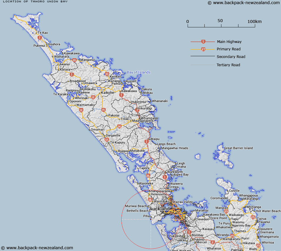
Map showing location of Tāhoro / Union Bay
LINZ description: A small coastal bay west of Auckland located at Karekare (locality) between Farley Point and The Watchman (point). NZTopo50-BB30ptBB31 308056.
Replacing Union Bay
(official by New Zealand Gazette, 1 December 1988, No. 206, page 5173)
Latitude: -36.986226
Longitude: 174.470839
Northing: 5905644.7
Easting: 1730897
Land District: North Auckland
Feat Type: Bay
Latitude: -36.986226
Longitude: 174.470839
Northing: 5905644.7
Easting: 1730897
Land District: North Auckland
Feat Type: Bay

Scroll down to see a more detailed road map and below that a topographical map showing the location of Tāhoro / Union Bay. The road map has been supplied by openstreetmap and the topographical map of Tāhoro / Union Bay has been supplied by Land Information New Zealand (LINZ).
Yes you can use the top static map for you school/university project or personal website with a link back. Contact me for any commercial use.
[ A ] [ B ] [ C ] [ D ] [ E ] [ F ] [ G ] [ H ] [ I ] [ J ] [ K ] [ L ] [ M ] [ N ] [ O ] [ P ] [ Q ] [ R ] [ S ] [ T ] [ U ] [ V ] [ W ] [ X ] [ Y ] [ Z ]