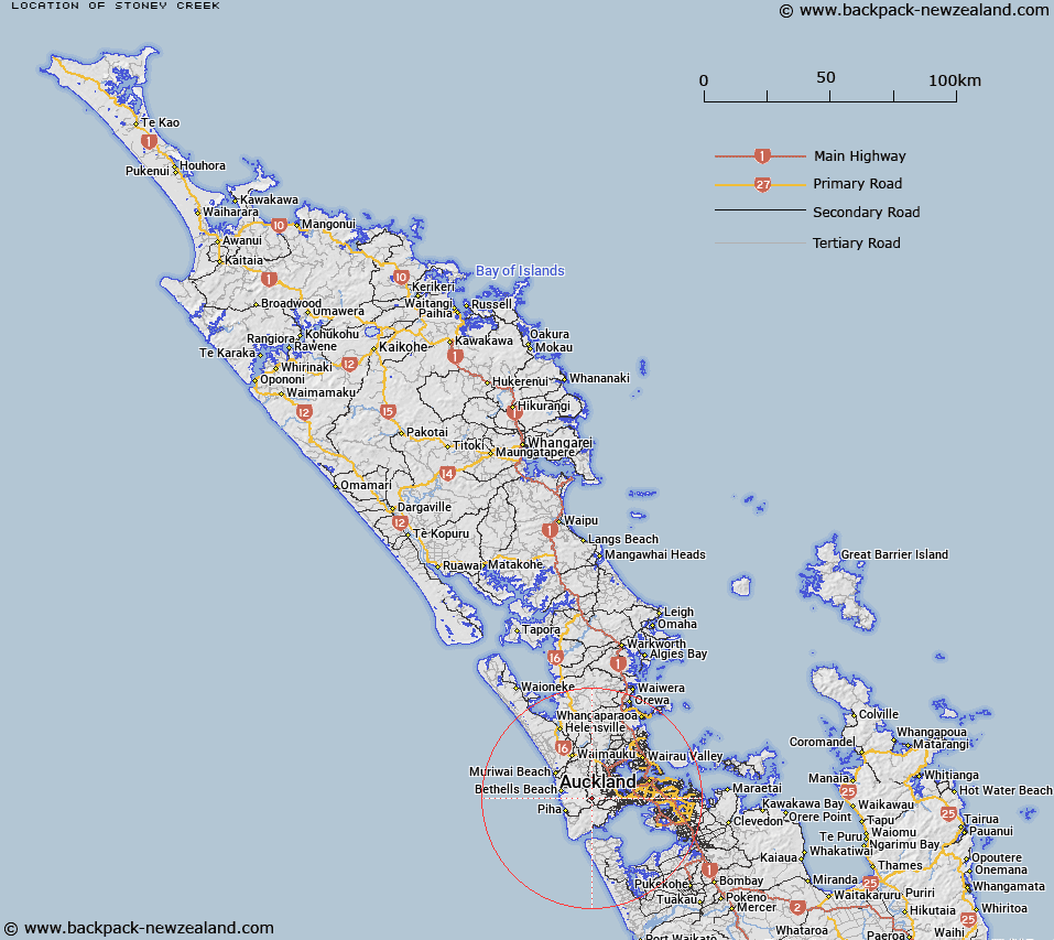
Map showing location of Stoney Creek


LINZ description: Feature shown on: NZMS260 Q11 Pt R11 Edition 2 1993 Reprinted 1996
Latitude: -36.909778
Longitude: 174.562028
Northing: 5913996.9
Easting: 1739152
Land District: North Auckland
Feat Type: Stream


Scroll down to see a more detailed road map and below that a topographical map showing the location of Stoney Creek. The road map has been supplied by openstreetmap and the topographical map of Stoney Creek has been supplied by Land Information New Zealand (LINZ).

Yes you can use the top static map for you school/university project or personal website with a link back. Contact me for any commercial use.
Stoney Creek Map New Zealand


New Zealand places in our database
[ A ] [ B ] [ C ] [ D ] [ E ] [ F ] [ G ] [ H ] [ I ] [ J ] [ K ] [ L ] [ M ] [ N ] [ O ] [ P ] [ Q ] [ R ] [ S ] [ T ] [ U ] [ V ] [ W ] [ X ] [ Y ] [ Z ]


Closest 20 Streams to Stoney Creek

Fairy Falls Stream ( 0.63km )   Spragg Stream ( 0.93km )   Opanuku Stream ( 1.6km )   Pukearuhe Stream ( 1.73km )   Russell Stream ( 1.86km )   Parekura Stream ( 2.06km )   Driving Stream ( 2.09km )   Mander Stream ( 2.22km )   McLeod Stream ( 2.32km )   Wasley Stream ( 2.33km )   Judson Stream ( 2.59km )   Kelly Stream ( 2.71km )   Gum Camp Stream ( 2.74km )   Swanson Stream ( 2.81km )   Kahikatea Stream ( 2.95km )   Gleeson Stream ( 2.95km )   Vella Stream ( 3.01km )   Vela Stream ( 3.01km )   Bendalls Creek ( 3.13km )   Potter Stream ( 3.13km )   Toetoeroa Stream ( 3.28km )   Waitauri Stream ( 3.31km )   Cassel Stream ( 3.41km )   Anderson Stream ( 3.46km )   Remus Roe Stream ( 3.72km )   Waitakere Stream ( 3.86km )   Quinns Creek ( 3.88km )   Papari Stream ( 3.91km )   Robinson Stream ( 3.98km )   Nihotupu Stream ( 3.98km )   Anamata Stream ( 4.02km )   Bendall Creek ( 4.08km )   Oratia Stream ( 4.15km )   Cantys Stream ( 4.41km )   Cascade Stream ( 4.61km )   Lonesome Brook ( 4.62km )   Waimoko Stream ( 4.79km )   Waiomoko Stream ( 4.79km )   Bacon Stream ( 4.85km )   Cochran Stream ( 5.07km )