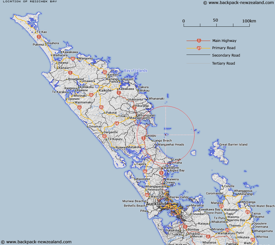
Map showing location of Reischek Bay


LINZ description: At the southern coast of Hen Island, between Sibson Bay and Wahine Bay, 850m South-east of The Pinnacles, in the Hen and Chickens Islands.
Latitude: -35.971097
Longitude: 174.713531
Northing: 6017900
Easting: 1754500
Land District: North Auckland
Feat Type: Bay


Scroll down to see a more detailed road map and below that a topographical map showing the location of Reischek Bay. The road map has been supplied by openstreetmap and the topographical map of Reischek Bay has been supplied by Land Information New Zealand (LINZ).

Yes you can use the top static map for you school/university project or personal website with a link back. Contact me for any commercial use.

Reischek Bay Map New Zealand


New Zealand places in our database
[ A ] [ B ] [ C ] [ D ] [ E ] [ F ] [ G ] [ H ] [ I ] [ J ] [ K ] [ L ] [ M ] [ N ] [ O ] [ P ] [ Q ] [ R ] [ S ] [ T ] [ U ] [ V ] [ W ] [ X ] [ Y ] [ Z ]


Closest 20 Bays to Reischek Bay

Sibson Bay ( 0.41km )   Wahine Bay ( 0.65km )   Pukanui Bay ( 1.17km )   Dragon Mouth Cove ( 1.39km )   Lighthouse Bay ( 1.72km )   Stead Bay ( 2.1km )   Wilson Bay ( 2.42km )   Korimako Bay ( 8.55km )   South Cove ( 8.81km )   West Bay ( 9.32km )   Starfish Bay ( 9.43km )   Boulder Bay ( 9.43km )   Dolphin Bay ( 9.51km )   Koarea Bay ( 9.84km )   Merrick Bay ( 9.88km )   Maire Bay ( 10.18km )   Taupata Bay ( 10.66km )   The Landing ( 10.77km )   Mokomoko Bay ( 10.93km )   Tawatawa Bay ( 11.3km )   Andersons Cove ( 15.62km )   McKenzie Cove ( 17.77km )   Mangawai Harbour ( 17.92km )   Mangawhai Harbour ( 17.92km )   Peach Cove ( 18.53km )   Waipu Cove ( 19.56km )   Bream Bay ( 20.2km )   Smugglers Bay ( 20.41km )   Urquharts Bay ( 21.87km )   McKenzie Bay ( 22.58km )   Taurikura Bay ( 23.05km )   McGregors Bay ( 23.79km )   Little Munroe Bay ( 24.34km )   Reotahi Bay ( 25.91km )   McLeod Bay ( 26.41km )   Marsden Bay ( 26.58km )   Munro Bay ( 28.66km )   Awahoa Bay ( 28.85km )   The Nook ( 30.48km )   Taiharuru Bay ( 30.51km )