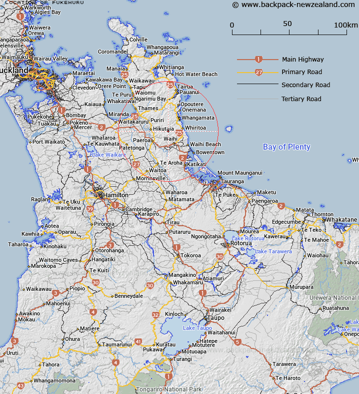
Map showing location of Pukehuru
LINZ description: A 681m peak in the Coromandel Range, 1.4km north of Whakamoehau (750m) and 1.5km south of Pukehuru (545m). shown on: NZMS260 T13 Edition 1 1980 Limited Revision 1987
Latitude: -37.307861
Longitude: 175.790972
Northing: 5867321.7
Easting: 1847351.1
Land District: South Auckland
Feat Type: Hill
Latitude: -37.307861
Longitude: 175.790972
Northing: 5867321.7
Easting: 1847351.1
Land District: South Auckland
Feat Type: Hill

Scroll down to see a more detailed road map and below that a topographical map showing the location of Pukehuru. The road map has been supplied by openstreetmap and the topographical map of Pukehuru has been supplied by Land Information New Zealand (LINZ).
Yes you can use the top static map for you school/university project or personal website with a link back. Contact me for any commercial use.
[ A ] [ B ] [ C ] [ D ] [ E ] [ F ] [ G ] [ H ] [ I ] [ J ] [ K ] [ L ] [ M ] [ N ] [ O ] [ P ] [ Q ] [ R ] [ S ] [ T ] [ U ] [ V ] [ W ] [ X ] [ Y ] [ Z ]