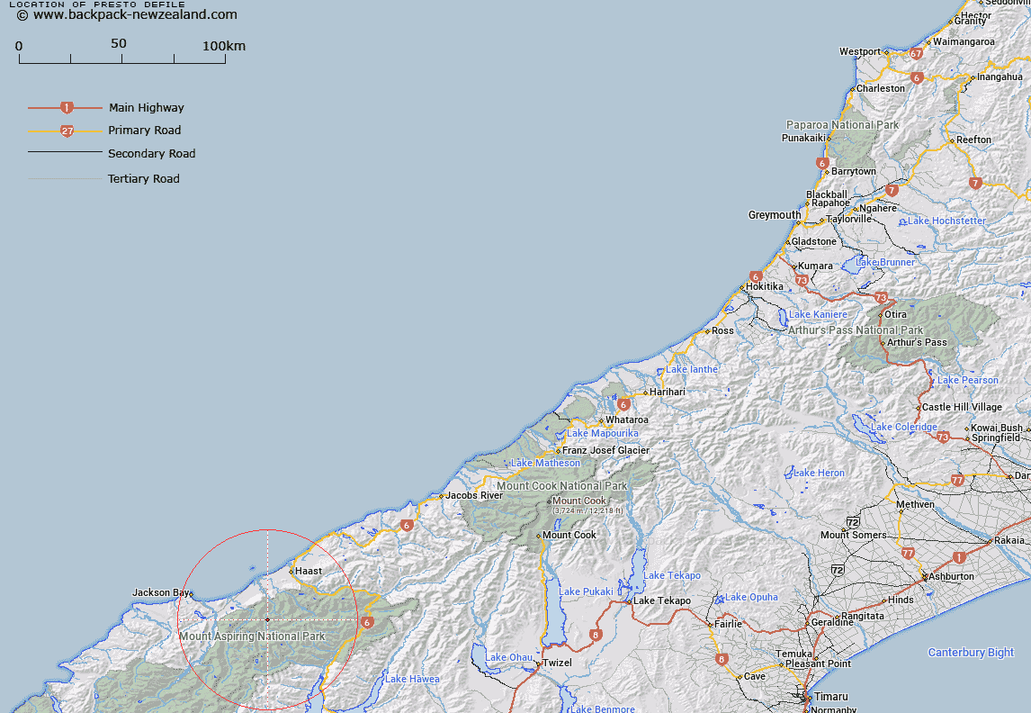
Map showing location of Presto Defile


LINZ description: Feature shown on: NZMS260 F38 Edition 1 1995
Latitude: -44.078139
Longitude: 168.941639
Northing: 5111435.7
Easting: 1275042.8
Land District: Westland
Feat Type: Cliff


Scroll down to see a more detailed road map and below that a topographical map showing the location of Presto Defile. The road map has been supplied by openstreetmap and the topographical map of Presto Defile has been supplied by Land Information New Zealand (LINZ).

Yes you can use the top static map for you school/university project or personal website with a link back. Contact me for any commercial use.
Presto Defile Map New Zealand


New Zealand places in our database
[ A ] [ B ] [ C ] [ D ] [ E ] [ F ] [ G ] [ H ] [ I ] [ J ] [ K ] [ L ] [ M ] [ N ] [ O ] [ P ] [ Q ] [ R ] [ S ] [ T ] [ U ] [ V ] [ W ] [ X ] [ Y ] [ Z ]


Closest 20 Cliffs to Presto Defile

Precedent Faces ( 3.75km )   Douglas Faces ( 4.8km )   Apteryx Spur ( 5.01km )   Lawyer Crags ( 5.69km )   Balustrad Cliff ( 7.15km )   Harris Faces ( 8.33km )   Rampart Cliff ( 9.12km )   Howe Crags ( 11.03km )   Noah Buttress ( 11.98km )   Bannister Precipices ( 19.95km )   Grandeur Cliffs ( 21.87km )   Thomas Bluff ( 22.12km )   Smyth Bluff ( 22.19km )   Wheeler Bluff ( 22.28km )   Mosquito Bluff ( 22.88km )   Halfway Bluff ( 24.26km )   Mark Bluff ( 25.82km )   Spectre Faces ( 26.43km )   Franklin Slopes ( 26.54km )   Break Neck Face ( 27.1km )   Eighteen Mile Bluff ( 30.86km )   Facade Cliffs ( 31.81km )   Stewart Crags ( 35.19km )   Douglas Bluff ( 35.75km )   Nissens Bluff ( 36.54km )   Clarke Bluff ( 40.14km )   Adiantum Bluff ( 41.05km )   Strutt Bluff ( 46.85km )   Moeraki Bluffs ( 46.87km )   Iota Bluff ( 47.25km )   The Quarry ( 47.85km )   Barn Bay Bluff ( 48.44km )   Halfway Bluff ( 49.28km )   Watson Bluff ( 49.4km )   Harper Bluff ( 52.59km )   Sandrock Bluff ( 55.18km )   Jerry Bluff ( 56.4km )   Gorge Bluff ( 56.76km )   Kea Cliffs ( 62.21km )   Glendhu Bluff ( 64.47km )