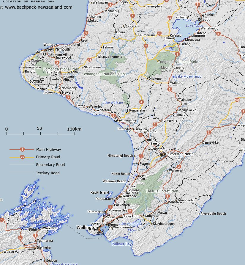
Map showing location of Parran Dam
LINZ description: Ridge between two major tributaries of Tupuangi Stream, south east of Waihere homestead, central northwest Pitt Island, Chatham Islands.
Latitude: -44.25842
Longitude: -176.224169
Northing: 0
Easting: 0
Land District: Wellington
Feat Type: Ridge
Latitude: -44.25842
Longitude: -176.224169
Northing: 0
Easting: 0
Land District: Wellington
Feat Type: Ridge

Scroll down to see a more detailed road map and below that a topographical map showing the location of Parran Dam. The road map has been supplied by openstreetmap and the topographical map of Parran Dam has been supplied by Land Information New Zealand (LINZ).
Yes you can use the top static map for you school/university project or personal website with a link back. Contact me for any commercial use.
[ A ] [ B ] [ C ] [ D ] [ E ] [ F ] [ G ] [ H ] [ I ] [ J ] [ K ] [ L ] [ M ] [ N ] [ O ] [ P ] [ Q ] [ R ] [ S ] [ T ] [ U ] [ V ] [ W ] [ X ] [ Y ] [ Z ]