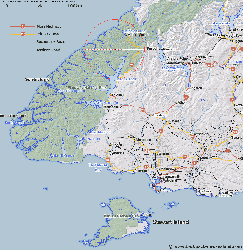
Map showing location of Pariroa / Castle Mount
LINZ description: A significant alpine mountain at 2122m, rising above Milford Track, approximately 11km north-west of Lake Te Anau. NZTopo50 CB08-Homer Saddle, GR 874 207. Alteration from Castle Mount (recorded name) to a dual name.
Feature also shown on: NZMS260 D41 Edition 1 1995
Latitude: -44.847639
Longitude: 167.779611
Northing: 5020702.4
Easting: 1187461.2
Land District: Southland
Feat Type: Hill
Latitude: -44.847639
Longitude: 167.779611
Northing: 5020702.4
Easting: 1187461.2
Land District: Southland
Feat Type: Hill

Scroll down to see a more detailed road map and below that a topographical map showing the location of Pariroa / Castle Mount. The road map has been supplied by openstreetmap and the topographical map of Pariroa / Castle Mount has been supplied by Land Information New Zealand (LINZ).
Yes you can use the top static map for you school/university project or personal website with a link back. Contact me for any commercial use.
[ A ] [ B ] [ C ] [ D ] [ E ] [ F ] [ G ] [ H ] [ I ] [ J ] [ K ] [ L ] [ M ] [ N ] [ O ] [ P ] [ Q ] [ R ] [ S ] [ T ] [ U ] [ V ] [ W ] [ X ] [ Y ] [ Z ]